Earthquake SOUTH SANDWICH ISLANDS REGION
Sat, 17 Jan 2026 08:04:48 GMT
Time1 month ago
Location
-56.1317, -27.5980
Depth
113.6 KM
Event Summary
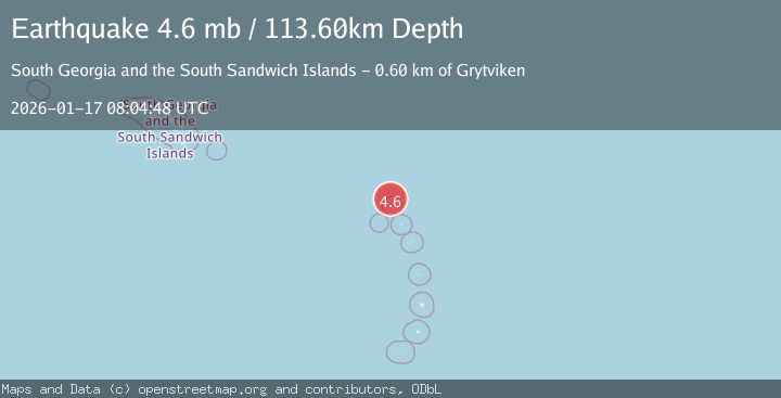
A 4.6 magnitude earthquake struck on SOUTH SANDWICH ISLANDS REGION, at Sat, 17 Jan 2026 08:04:48 GMT. Depth: 113.6km. Reviewed by NEIC seismologists, this light quake occurred at a magnitude type of mb.
Magnitude
4.6
mb
Source
NEIC
Intensity
-
Agency Reports
1 Sources| Source | Magnitude | Depth | Time |
|---|---|---|---|
| NEICPrimary | 4.6 | 114 km | 1 month ago |
Earthquake Details
AutomaticEvent IDemsc_NEIC_20260117_0000335
Tsunami PotentialNo
Magnitude Typemb
Nearest Places
- 15.5 km
- 16.9 km
- 18.7 km
- 18.7 km
- 18.8 km
Comments
Join the discussion about this event.
Latest Earthquakes
1.7Mag
Tarapaca, Chile
Time1 minute ago
Depth0.61 km
SourceVYT (Automatic)
1.8Mag
Kenai Peninsula, Alaska
Time3 minutes ago
Depth44.19 km
SourceVYT (Automatic)
4.4Mag
Arafura Sea
Time6 minutes ago
Depth10.00 km
SourceVYT (Automatic)
2.6Mag
Central California
Time15 minutes ago
Depth17.33 km
SourceVYT (Automatic)
2.1Mag
71 km ENE of Tonopah, Nevada
Time16 minutes ago
Depth15.98 km
SourceUSGS (Automatic)
Nearby Earthquakes
5.0Mag
SOUTH SANDWICH ISLANDS REGION
Time11 years ago
Depth129.00 km
SourceEMSC (Automatic)
5.9Mag
SOUTH SANDWICH ISLANDS REGION
Time20 years ago
Depth33.00 km
SourceEMSC (Automatic)
5.5Mag
SOUTH SANDWICH ISLANDS REGION
Time8 years ago
Depth80.00 km
SourceEMSC (Automatic)
4.6Mag
SOUTH SANDWICH ISLANDS REGION
Time3 weeks ago
Depth108.00 km
SourceEMSC (Automatic)
5.0Mag
SOUTH SANDWICH ISLANDS REGION
Time13 years ago
Depth83.00 km
SourceGFZ (Automatic)