Earthquake SAMOA ISLANDS REGION
Fri, 23 Jan 2026 17:41:08 GMT
Time1 month ago
Location
-16.3139, -172.9204
Depth
10.0 KM
Event Summary
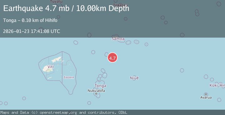
A 4.7 magnitude earthquake struck on SAMOA ISLANDS REGION, at Fri, 23 Jan 2026 17:41:08 GMT. Depth: 10km. Reviewed by NEIC seismologists, this light quake occurred at a magnitude type of mb.
Magnitude
4.7
mb
Source
NEIC
Intensity
-
Agency Reports
1 Sources| Source | Magnitude | Depth | Time |
|---|---|---|---|
| NEICPrimary | 4.7 | 10 km | 1 month ago |
Earthquake Details
AutomaticEvent IDemsc_NEIC_20260123_0000478
Tsunami PotentialNo
Magnitude Typemb
Nearest Places
- 94.6 km
- 95.0 km
- 95.6 km
- 96.1 km
- 96.4 km
Comments
Join the discussion about this event.
Latest Earthquakes
2.8Mag
Atacama, Chile
Time10 minutes ago
Depth10.13 km
SourceVYT (Automatic)
1.6Mag
Greater Los Angeles area, California
Time11 minutes ago
Depth16.60 km
SourceVYT (Automatic)
1.6Mag
Kenai Peninsula, Alaska
Time14 minutes ago
Depth3.17 km
SourceVYT (Automatic)
3.1Mag
Papua region, Indonesia
Time14 minutes ago
Depth56.88 km
SourceVYT (Automatic)
1.2Mag
WESTERN TURKEY
Time19 minutes ago
Depth4.10 km
SourceAFAD (Automatic)
Nearby Earthquakes
5.2Mag
SAMOA ISLANDS REGION
Time18 years ago
Depth35.00 km
SourceEMSC (Automatic)
5.2Mag
SAMOA ISLANDS REGION
Time5 years ago
Depth10.00 km
SourceEMSC (Automatic)
5.5Mag
SAMOA ISLANDS REGION
Time2 years ago
Depth10.00 km
SourceEMSC (Automatic)
5.2Mag
SAMOA ISLANDS REGION
Time1 year ago
Depth10.00 km
SourceEMSC (Automatic)
5.8Mag
SAMOA ISLANDS REGION
Time16 years ago
Depth2.00 km
SourceEMSC (Automatic)