Earthquake MAUG ISLANDS REG, N. MARIANA IS.
Sat, 31 Jan 2026 12:35:19 GMT
Time5 hours ago
Location
19.1417, 144.8851
Depth
387.4 KM
Event Summary
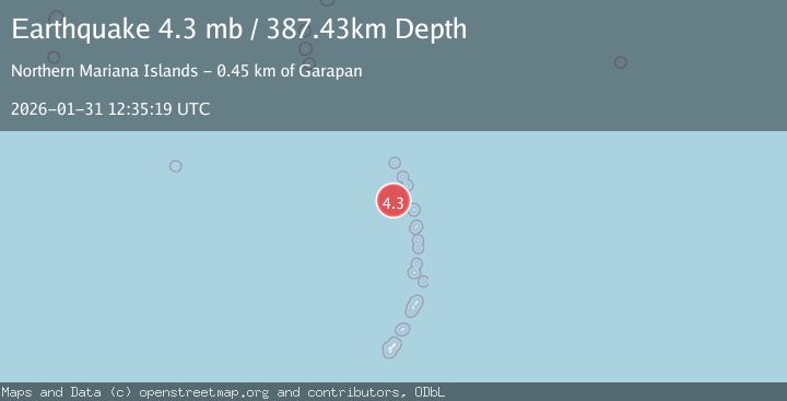
A 4.3 magnitude earthquake struck on MAUG ISLANDS REG, N. MARIANA IS., at Sat, 31 Jan 2026 12:35:19 GMT. Depth: 387.4km. Reviewed by NEIC seismologists, this light quake occurred at a magnitude type of mb.
Magnitude
4.3
mb
Source
NEIC
Intensity
-
Agency Reports
1 Sources| Source | Magnitude | Depth | Time |
|---|---|---|---|
| NEICPrimary | 4.3 | 387 km | 5 hours ago |
Earthquake Details
AutomaticEvent IDemsc_NEIC_20260131_0000191
Tsunami PotentialNo
Magnitude Typemb
Nearest Places
- Cheref Seamount66.7 km
- Poyo Seamount67.3 km
- Intermittent Historic Settlements80.4 km
- Lower SW - Planted Coconuts and Cultivated Trees80.4 km
- Asuncion Island80.7 km
Comments
Join the discussion about this event.
Latest Earthquakes
2.5Mag
Java, Indonesia
Time5 hours ago
Depth19.83 km
SourceBMKG (Automatic)
3.5Mag
West Papua, Indonesia
Time5 hours ago
Depth10.00 km
SourceBMKG (Automatic)
1.4Mag
11 km WSW of Stanton, Texas
Time5 hours ago
Depth4.94 km
SourceUSGS (Automatic)
0.5Mag
86 km NW of Karluk, Alaska
Time5 hours ago
Depth5.00 km
SourceUSGS (Automatic)
3.8Mag
TARAPACA, CHILE
Time5 hours ago
Depth94.60 km
SourceCSN (Automatic)
Nearby Earthquakes
4.8Mag
PAGAN REG., N. MARIANA ISLANDS
Time3 days ago
Depth358.50 km
SourceGFZ (Automatic)
6.1Mag
VOLCANO ISLANDS, JAPAN REGION
Time1 week ago
Depth10.00 km
SourceGFZ (Automatic)
5.0Mag
VOLCANO ISLANDS, JAPAN REGION
Time5 days ago
Depth30.00 km
SourceEMSC (Automatic)
4.9Mag
GUAM REGION
Time1 week ago
Depth38.20 km
SourceNEIC (Automatic)
5.1Mag
VOLCANO ISLANDS, JAPAN REGION
Time1 week ago
Depth10.00 km
SourceGFZ (Automatic)