Earthquake MYANMAR
Mon, 02 Feb 2026 00:04:04 GMT
Time2 weeks ago
Location
22.7531, 94.6655
Depth
99.0 KM
Event Summary
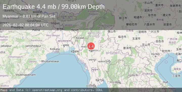
A 4.4 magnitude earthquake struck on MYANMAR, at Mon, 02 Feb 2026 00:04:04 GMT. Depth: 99km. Reviewed by NEIC seismologists, this light quake occurred at a magnitude type of mb.
Magnitude
4.4
mb
Source
NEIC
Intensity
-
Agency Reports
1 Sources| Source | Magnitude | Depth | Time |
|---|---|---|---|
| NEICPrimary | 4.4 | 99 km | 2 weeks ago |
Earthquake Details
AutomaticEvent IDemsc_NEIC_20260202_0000424
Tsunami PotentialNo
Magnitude Typemb
Nearest Places
- 2.4 km
- 3.5 km
- 4.3 km
- 4.3 km
- 4.6 km
Comments
Join the discussion about this event.
Latest Earthquakes
3.6Mag
Jujuy, Argentina
Time13 hours ago
Depth200.56 km
SourceVYT (Automatic)
3.2Mag
South of Sumbawa, Indonesia
Time13 hours ago
Depth10.00 km
SourceBMKG
2.6Mag
Poland
Time13 hours ago
Depth1.59 km
SourceVYT (Automatic)
1.1Mag
WESTERN TURKEY
Time13 hours ago
Depth7.00 km
SourceAFAD (Automatic)
1.4Mag
WESTERN TURKEY
Time13 hours ago
Depth7.00 km
SourceAFAD (Automatic)
Nearby Earthquakes
5.2Mag
MYANMAR
Time7 years ago
Depth111.00 km
SourceEMSC (Automatic)
5.0Mag
MYANMAR
Time9 years ago
Depth100.00 km
SourceEMSC (Automatic)
5.1Mag
MYANMAR
Time21 years ago
Depth112.00 km
SourceEMSC (Automatic)
5.4Mag
MYANMAR
Time10 years ago
Depth40.00 km
SourceEMSC (Automatic)
5.5Mag
MYANMAR
Time13 years ago
Depth133.00 km
SourceEMSC (Automatic)