Earthquake KERMADEC ISLANDS REGION
Wed, 04 Feb 2026 00:03:05 GMT
Time2 weeks ago
Location
-31.4395, -179.6524
Depth
333.0 KM
Event Summary
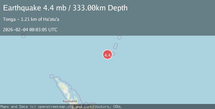
A 4.4 magnitude earthquake struck on KERMADEC ISLANDS REGION, at Wed, 04 Feb 2026 00:03:05 GMT. Depth: 333km. Reviewed by NEIC seismologists, this light quake occurred at a magnitude type of mb.
Magnitude
4.4
mb
Source
NEIC
Intensity
-
Agency Reports
1 Sources| Source | Magnitude | Depth | Time |
|---|---|---|---|
| NEICPrimary | 4.4 | 333 km | 2 weeks ago |
Earthquake Details
AutomaticEvent IDemsc_NEIC_20260204_0000032
Tsunami PotentialNo
Magnitude Typemb
Nearest Places
- Havre Trough15.9 km
- Havre Rock62.7 km
- Havre Seamount68.5 km
- L'Esperance Rock71.4 km
- Speight Knoll105.5 km
Comments
Join the discussion about this event.
Latest Earthquakes
2.9Mag
CRETE, GREECE
Time13 minutes ago
Depth13.90 km
SourceNOA (Automatic)
2.7Mag
Antofagasta, Chile
Time15 minutes ago
Depth84.84 km
SourceVYT (Automatic)
2.6Mag
Antofagasta, Chile
Time20 minutes ago
Depth155.15 km
SourceVYT (Automatic)
1.8Mag
western Texas
Time21 minutes ago
Depth10.50 km
SourceVYT (Automatic)
3.3Mag
CRETE, GREECE
Time22 minutes ago
Depth10.00 km
SourceNOA (Automatic)
Nearby Earthquakes
5.3Mag
KERMADEC ISLANDS REGION
Time20 years ago
Depth213.00 km
SourceEMSC (Automatic)
5.2Mag
KERMADEC ISLANDS REGION
Time17 years ago
Depth339.00 km
SourceEMSC (Automatic)
5.1Mag
KERMADEC ISLANDS REGION
Time14 years ago
Depth206.00 km
SourceEMSC (Automatic)
5.0Mag
KERMADEC ISLANDS REGION
Time1 year ago
Depth336.10 km
SourceEMSC (Automatic)
5.7Mag
KERMADEC ISLANDS REGION
Time12 years ago
Depth223.00 km
SourceEMSC (Automatic)