Earthquake VIRGIN ISLANDS REGION
Mon, 09 Feb 2026 10:30:00 GMT
Time1 hour ago
Location
19.1168, -64.5300
Depth
31.7 KM
Event Summary
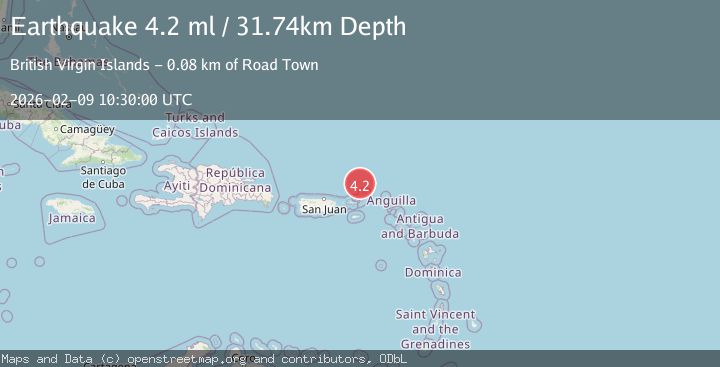
A 4.2 magnitude earthquake struck on VIRGIN ISLANDS REGION, at Mon, 09 Feb 2026 10:30:00 GMT. Depth: 31.7km. Reviewed by NEIC seismologists, this light quake occurred at a magnitude type of ml.
Magnitude
4.2
ml
Source
NEIC
Intensity
-
Agency Reports
1 Sources| Source | Magnitude | Depth | Time |
|---|---|---|---|
| NEICPrimary | 4.2 | 32 km | 1 hour ago |
Earthquake Details
AutomaticEvent IDemsc_NEIC_20260209_0000144
Tsunami PotentialNo
Magnitude Typeml
Nearest Places
- Anegada Canyon25.7 km
- Walkover Set Point43.1 km
- Walkover Set Bay43.3 km
- West End43.4 km
- West End Point43.5 km
Comments
Join the discussion about this event.
Latest Earthquakes
1.8Mag
9 km ENE of Calumet, Oklahoma
Time1 hour ago
Depth4.50 km
SourceUSGS (Automatic)
2.9Mag
West Papua Region, Indonesia
Time1 hour ago
Depth10.00 km
SourceBMKG (Automatic)
1.7Mag
60 km N of Chase, Alaska
Time1 hour ago
Depth81.80 km
SourceUSGS (Automatic)
1.1Mag
7 km W of Cobb, CA
Time1 hour ago
Depth1.80 km
SourceUSGS (Automatic)
3.0Mag
OFFSHORE BIO-BIO, CHILE
Time1 hour ago
Depth29.80 km
SourceCSN (Automatic)
Nearby Earthquakes
3.4Mag
VIRGIN ISLANDS REGION
Time1 day ago
Depth20.80 km
SourcePR (Automatic)
3.7Mag
VIRGIN ISLANDS REGION
Time1 day ago
Depth35.00 km
SourceNEIC (Automatic)
3.8Mag
VIRGIN ISLANDS REGION
Time22 hours ago
Depth35.00 km
SourceNEIC (Automatic)
3.8Mag
VIRGIN ISLANDS REGION
Time14 hours ago
Depth40.90 km
SourceNEIC (Automatic)
3.0Mag
VIRGIN ISLANDS REGION
Time4 days ago
Depth9.90 km
SourcePR (Automatic)