Earthquake KURIL ISLANDS
Wed, 18 Feb 2026 23:36:42 GMT
Time1 hour ago
Location
49.1665, 154.9929
Depth
61.3 KM
Event Summary
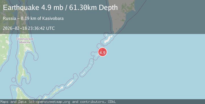
A 4.9 magnitude earthquake struck on KURIL ISLANDS, at Wed, 18 Feb 2026 23:36:42 GMT. Depth: 61.3km. Reviewed by NEIC seismologists, this light quake occurred at a magnitude type of mb.
Magnitude
4.9
mb
Source
NEIC
Intensity
-
Agency Reports
2 Sources| Source | Magnitude | Depth | Time |
|---|---|---|---|
| NEICPrimary | 4.9 | 61 km | 1 hour ago |
| USGS | 4.9 | 61 km | 1 hour ago |
Earthquake Details
AutomaticEvent IDemsc_NEIC_20260218_0000379
Tsunami PotentialNo
Magnitude Typemb
Nearest Places
- Mys Busha19.0 km
- Mys Terrasnyy19.5 km
- Gora Kroshka20.4 km
- Mys Gorelyy20.6 km
- Trudnyy21.3 km
Comments
Join the discussion about this event.
Latest Earthquakes
1.2Mag
5 km WNW of The Geysers, CA
Time1 hour ago
Depth3.19 km
SourceUSGS (Automatic)
3.4Mag
Sulawesi, Indonesia
Time1 hour ago
Depth27.95 km
SourceVYT (Automatic)
1.6Mag
Central Alaska
Time1 hour ago
Depth18.07 km
SourceVYT (Automatic)
2.5Mag
Bering Strait
Time1 hour ago
Depth200.07 km
SourceVYT (Automatic)
2.3Mag
Sumbawa Region, Indonesia
Time1 hour ago
Depth10.00 km
SourceBMKG
Nearby Earthquakes
4.7Mag
KURIL ISLANDS
Time4 days ago
Depth94.00 km
SourceEMSC (Automatic)
4.8Mag
KURIL ISLANDS
Time3 weeks ago
Depth94.00 km
SourceEMSC (Automatic)
5.2Mag
KURIL ISLANDS
Time20 years ago
Depth60.00 km
SourceEMSC (Automatic)
5.1Mag
KURIL ISLANDS
Time5 years ago
Depth44.00 km
SourceEMSC (Automatic)
5.2Mag
KURIL ISLANDS
Time15 years ago
Depth41.00 km
SourceEMSC (Automatic)