Earthquake DOMINICAN REPUBLIC REGION
Sat, 16 Aug 2014 04:50:12 GMT
Time11 years ago
Location
19.0900, -68.1000
Depth
50.0 KM
Event Summary
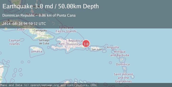
A 3.0 magnitude earthquake struck on DOMINICAN REPUBLIC REGION, at Sat, 16 Aug 2014 04:50:12 GMT. Depth: 50km. Reviewed by NEIR seismologists, this minor quake occurred at a magnitude type of md.
Magnitude
3.0
md
Source
NEIR
Intensity
-
Agency Reports
1 Sources| Source | Magnitude | Depth | Time |
|---|---|---|---|
| NEIRPrimary | 3.0 | 50 km | 11 years ago |
Earthquake Details
AutomaticEvent IDemsc_NEIR_20140816_0000062
Tsunami PotentialNo
Magnitude Typemd
Nearest Places
- 17.6 km
- 25.7 km
- 36.9 km
- 39.0 km
- 50.8 km
Comments
Join the discussion about this event.
Latest Earthquakes
1.7Mag
32 km SE of Naalehu, Hawaii
Time4 minutes ago
Depth15.81 km
SourceUSGS (Automatic)
1.3Mag
6 km NW of The Geysers, CA
Time7 minutes ago
Depth2.94 km
SourceUSGS (Automatic)
2.2Mag
Fox Islands, Aleutian Islands, Alaska
Time8 minutes ago
Depth46.75 km
SourceVYT (Automatic)
3.0Mag
Sumbawa region, Indonesia
Time10 minutes ago
Depth122.80 km
SourceVYT (Automatic)
2.8Mag
Antofagasta, Chile
Time11 minutes ago
Depth138.92 km
SourceVYT (Automatic)
Nearby Earthquakes
3.0Mag
DOMINICAN REPUBLIC REGION
Time16 years ago
Depth57.00 km
SourceNEIC (Automatic)
5.7Mag
DOMINICAN REPUBLIC REGION
Time8 months ago
Depth9.60 km
SourceEMSC (Automatic)
3.0Mag
DOMINICAN REPUBLIC REGION
Time10 years ago
Depth24.00 km
SourceNEIR (Automatic)
3.0Mag
DOMINICAN REPUBLIC REGION
Time5 months ago
Depth29.60 km
SourceUASD (Automatic)
3.0Mag
DOMINICAN REPUBLIC REGION
Time4 months ago
Depth15.10 km
SourceUASD (Automatic)