Earthquake VIRGIN ISLANDS REGION
Sat, 26 Aug 2017 10:03:02 GMT
Time8 years ago
Location
19.3700, -65.1400
Depth
63.0 KM
Event Summary
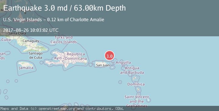
A 3.0 magnitude earthquake struck on VIRGIN ISLANDS REGION, at Sat, 26 Aug 2017 10:03:02 GMT. Depth: 63km. Reviewed by NEIR seismologists, this minor quake occurred at a magnitude type of md.
Magnitude
3.0
md
Source
NEIR
Intensity
-
Agency Reports
1 Sources| Source | Magnitude | Depth | Time |
|---|---|---|---|
| NEIRPrimary | 3.0 | 63 km | 8 years ago |
Earthquake Details
AutomaticEvent IDemsc_NEIR_20170826_0000042
Tsunami PotentialNo
Magnitude Typemd
Nearest Places
- Amphitheaters Ridge43.1 km
- Anegada Canyon55.1 km
- Bandera Canyon86.7 km
- Molinos Canyon86.9 km
- Whale Banks87.7 km
Comments
Join the discussion about this event.
Latest Earthquakes
1.4Mag
4 km W of Lake Henshaw, CA
Time7 minutes ago
Depth12.20 km
SourceUSGS (Automatic)
3.6Mag
Southeastern Alaska
Time9 minutes ago
Depth0.00 km
SourceVYT (Automatic)
2.5Mag
West Papua Region, Indonesia
Time10 minutes ago
Depth10.00 km
SourceBMKG
2.2Mag
Tarapaca, Chile
Time15 minutes ago
Depth103.76 km
SourceVYT (Automatic)
1.4Mag
9 km WSW of Stanton, Texas
Time18 minutes ago
Depth2.29 km
SourceUSGS (Automatic)
Nearby Earthquakes
3.0Mag
VIRGIN ISLANDS REGION
Time10 years ago
Depth49.00 km
SourceNEIR (Automatic)
4.0Mag
VIRGIN ISLANDS REGION
Time2 years ago
Depth30.80 km
SourceNEIC (Automatic)
3.0Mag
PUERTO RICO REGION
Time9 years ago
Depth34.00 km
SourceNEIC (Automatic)
3.0Mag
PUERTO RICO REGION
Time11 years ago
Depth64.00 km
SourceNEIR (Automatic)
3.0Mag
VIRGIN ISLANDS REGION
Time11 years ago
Depth63.00 km
SourceNEIR (Automatic)