Earthquake PHILIPPINE ISLANDS REGION
Thu, 01 Jan 2026 16:16:02 GMT
Time1 month ago
Location
6.4700, 127.0700
Depth
175.0 KM
Event Summary
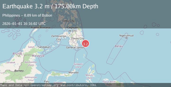
A 3.2 magnitude earthquake struck on PHILIPPINE ISLANDS REGION, at Thu, 01 Jan 2026 16:16:02 GMT. Depth: 175km. Reviewed by PIVS seismologists, this minor quake occurred at a magnitude type of m.
Magnitude
3.2
m
Source
PIVS
Intensity
-
Agency Reports
1 Sources| Source | Magnitude | Depth | Time |
|---|---|---|---|
| PIVSPrimary | 3.2 | 175 km | 1 month ago |
Earthquake Details
AutomaticEvent IDemsc_PIVS_20260101_0000277
Tsunami PotentialNo
Magnitude Typem
Nearest Places
- Cateel78.5 km
- Lamigan Point87.7 km
- Mayo Bay88.8 km
- Tugubun Point89.3 km
- Taganilac89.7 km
Comments
Join the discussion about this event.
Latest Earthquakes
1.8Mag
Southeastern Alaska
Time1 minute ago
Depth0.00 km
SourceVYT (Automatic)
2.4Mag
northern Alaska
Time2 minutes ago
Depth206.30 km
SourceVYT (Automatic)
2.7Mag
Alaska Peninsula
Time14 minutes ago
Depth7.08 km
SourceVYT (Automatic)
2.4Mag
HAWAII REGION, HAWAII
Time15 minutes ago
Depth11.20 km
SourceHV (Automatic)
3.1Mag
Potosi, Bolivia
Time20 minutes ago
Depth330.08 km
SourceVYT (Automatic)
Nearby Earthquakes
5.0Mag
PHILIPPINE ISLANDS REGION
Time3 years ago
Depth69.00 km
SourceEMSC (Automatic)
5.3Mag
PHILIPPINE ISLANDS REGION
Time3 years ago
Depth45.00 km
SourceEMSC (Automatic)
5.0Mag
PHILIPPINE ISLANDS REGION
Time19 years ago
Depth100.00 km
SourceEMSC (Automatic)
5.9Mag
PHILIPPINE ISLANDS REGION
Time3 years ago
Depth26.00 km
SourceEMSC (Automatic)
5.8Mag
PHILIPPINE ISLANDS REGION
Time3 years ago
Depth45.00 km
SourceEMSC (Automatic)