Earthquake KEPULAUAN TALAUD, INDONESIA
Tue, 06 Jan 2026 17:12:37 GMT
Time1 month ago
Location
4.5100, 126.4300
Depth
15.0 KM
Event Summary
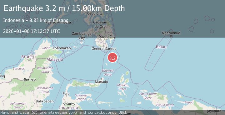
A 3.2 magnitude earthquake struck on KEPULAUAN TALAUD, INDONESIA, at Tue, 06 Jan 2026 17:12:37 GMT. Depth: 15km. Reviewed by PIVS seismologists, this minor quake occurred at a magnitude type of m.
Magnitude
3.2
m
Source
PIVS
Intensity
-
Agency Reports
1 Sources| Source | Magnitude | Depth | Time |
|---|---|---|---|
| PIVSPrimary | 3.2 | 15 km | 1 month ago |
Earthquake Details
AutomaticEvent IDemsc_PIVS_20260106_0000327
Tsunami PotentialNo
Magnitude Typem
Nearest Places
- Tanjung Ambia31.8 km
- Tanjung Alinsar32.2 km
- Tanjung Alai32.2 km
- Batumbalango32.2 km
- Ambia32.3 km
Comments
Join the discussion about this event.
Latest Earthquakes
3.4Mag
Molucca Sea
Time4 minutes ago
Depth21.00 km
SourceVYT (Automatic)
1.3Mag
9 km WNW of The Geysers, CA
Time9 minutes ago
Depth2.30 km
SourceUSGS (Automatic)
2.2Mag
CENTRAL CALIFORNIA
Time14 minutes ago
Depth-1.00 km
SourceNC (Automatic)
2.6Mag
ADRIATIC SEA
Time18 minutes ago
Depth15.00 km
SourceIGEO (Automatic)
2.0Mag
Java, Indonesia
Time18 minutes ago
Depth7.57 km
SourceVYT (Automatic)
Nearby Earthquakes
5.0Mag
KEPULAUAN TALAUD, INDONESIA
Time11 years ago
Depth80.00 km
SourceEMSC (Automatic)
5.1Mag
KEPULAUAN TALAUD, INDONESIA
Time13 years ago
Depth30.00 km
SourceEMSC (Automatic)
4.0Mag
KEPULAUAN TALAUD, INDONESIA
Time4 years ago
Depth10.00 km
SourceDJA (Automatic)
3.1Mag
KEPULAUAN TALAUD, INDONESIA
Time1 month ago
Depth11.00 km
SourceBMKG (Automatic)
4.1Mag
Talaud Islands, Indonesia
Time3 weeks ago
Depth75.38 km
SourceBMKG (Automatic)