Earthquake PHILIPPINE ISLANDS REGION
Wed, 07 Jan 2026 08:45:23 GMT
Time1 month ago
Location
6.9900, 127.1300
Depth
32.0 KM
Event Summary
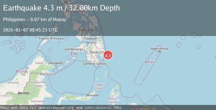
A 4.3 magnitude earthquake struck on PHILIPPINE ISLANDS REGION, at Wed, 07 Jan 2026 08:45:23 GMT. Depth: 32km. Reviewed by PIVS seismologists, this light quake occurred at a magnitude type of m.
Magnitude
4.3
m
Source
PIVS
Intensity
-
Agency Reports
2 Sources| Source | Magnitude | Depth | Time |
|---|---|---|---|
| PIVSPrimary | 3.4 | 32 km | 1 month ago |
| NEIC | 4.3 | 10 km | 1 month ago |
Earthquake Details
AutomaticEvent IDemsc_PIVS_20260107_0000143
Tsunami PotentialNo
Magnitude Typem
Nearest Places
- 66.9 km
- 67.0 km
- 67.1 km
- 67.2 km
- 67.6 km
Comments
Join the discussion about this event.
Latest Earthquakes
2.0Mag
Poland
Time2 minutes ago
Depth5.62 km
SourceVYT (Automatic)
1.4Mag
3 km WSW of Mira Loma, CA
Time2 minutes ago
Depth7.18 km
SourceUSGS (Automatic)
2.6Mag
Southern Alaska
Time10 minutes ago
Depth42.60 km
SourceVYT (Automatic)
1.8Mag
STRAIT OF GIBRALTAR
Time10 minutes ago
Depth2.30 km
SourceIGN (Automatic)
2.8Mag
south of Java, Indonesia
Time11 minutes ago
Depth0.00 km
SourceVYT (Automatic)
Nearby Earthquakes
3.0Mag
PHILIPPINE ISLANDS REGION
Time4 years ago
Depth4.00 km
SourcePIVS (Automatic)
4.0Mag
PHILIPPINE ISLANDS REGION
Time4 months ago
Depth10.00 km
SourcePIVS (Automatic)
3.0Mag
PHILIPPINE ISLANDS REGION
Time1 year ago
Depth1.00 km
SourcePIVS (Automatic)
3.5Mag
PHILIPPINE ISLANDS REGION
Time1 month ago
Depth14.00 km
SourcePIVS (Automatic)
3.0Mag
PHILIPPINE ISLANDS REGION
Time4 months ago
Depth2.00 km
SourcePIVS (Automatic)