Earthquake PHILIPPINE ISLANDS REGION
Fri, 09 Jan 2026 18:38:25 GMT
Time1 month ago
Location
7.2600, 127.0700
Depth
13.0 KM
Event Summary
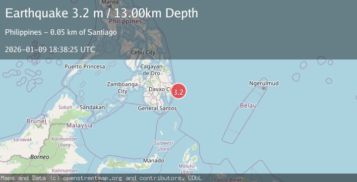
A 3.2 magnitude earthquake struck on PHILIPPINE ISLANDS REGION, at Fri, 09 Jan 2026 18:38:25 GMT. Depth: 13km. Reviewed by PIVS seismologists, this minor quake occurred at a magnitude type of m.
Magnitude
3.2
m
Source
PIVS
Intensity
-
Agency Reports
1 Sources| Source | Magnitude | Depth | Time |
|---|---|---|---|
| PIVSPrimary | 3.2 | 13 km | 1 month ago |
Earthquake Details
AutomaticEvent IDemsc_PIVS_20260109_0000281
Tsunami PotentialNo
Magnitude Typem
Nearest Places
- Pusan Point51.5 km
- Caraga Bay53.8 km
- Santiago54.0 km
- Bunga Cove54.7 km
- Santiago54.9 km
Comments
Join the discussion about this event.
Latest Earthquakes
1.5Mag
61 km S of Whites City, New Mexico
Time6 minutes ago
Depth3.96 km
SourceUSGS (Automatic)
3.0Mag
WESTERN TURKEY
Time6 minutes ago
Depth7.30 km
SourceAFAD (Automatic)
3.2Mag
OFFSHORE GUATEMALA
Time8 minutes ago
Depth67.00 km
SourceINET (Automatic)
1.7Mag
British Columbia, Canada
Time9 minutes ago
Depth11.60 km
SourceVYT (Automatic)
2.1Mag
WESTERN TURKEY
Time13 minutes ago
Depth4.90 km
SourceKOERI (Automatic)
Nearby Earthquakes
3.4Mag
PHILIPPINE ISLANDS REGION
Time2 weeks ago
Depth9.00 km
SourcePIVS (Automatic)
3.0Mag
PHILIPPINE ISLANDS REGION
Time1 month ago
Depth10.00 km
SourcePIVS (Automatic)
3.6Mag
PHILIPPINE ISLANDS REGION
Time2 weeks ago
Depth9.00 km
SourcePIVS (Automatic)
5.0Mag
PHILIPPINE ISLANDS REGION
Time3 years ago
Depth10.00 km
SourceEMSC (Automatic)
3.0Mag
PHILIPPINE ISLANDS REGION
Time4 months ago
Depth14.00 km
SourcePIVS (Automatic)