Earthquake PHILIPPINE ISLANDS REGION
Mon, 12 Jan 2026 15:45:15 GMT
Time1 month ago
Location
6.5700, 127.1500
Depth
3.0 KM
Event Summary
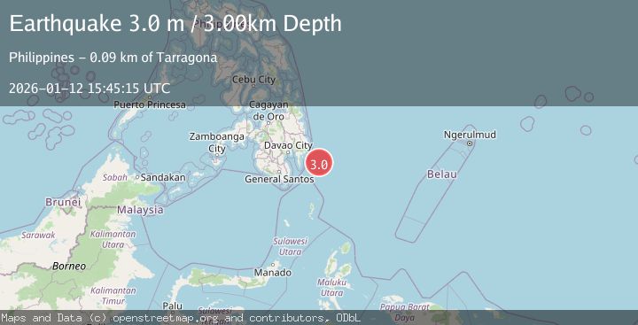
A 3.0 magnitude earthquake struck on PHILIPPINE ISLANDS REGION, at Mon, 12 Jan 2026 15:45:15 GMT. Depth: 3km. Reviewed by PIVS seismologists, this minor quake occurred at a magnitude type of m.
Magnitude
3.0
m
Source
PIVS
Intensity
-
Agency Reports
1 Sources| Source | Magnitude | Depth | Time |
|---|---|---|---|
| PIVSPrimary | 3.0 | 3 km | 1 month ago |
Earthquake Details
AutomaticEvent IDemsc_PIVS_20260112_0000237
Tsunami PotentialNo
Magnitude Typem
Nearest Places
- Cateel82.6 km
- Tugubun Point89.8 km
- Mayo Bay90.7 km
- Lamigan Point92.0 km
- Baguan River92.3 km
Comments
Join the discussion about this event.
Latest Earthquakes
3.8Mag
Kenai Peninsula, Alaska
Time4 minutes ago
Depth49.93 km
SourceVYT (Automatic)
5.7Mag
HINDU KUSH REGION, AFGHANISTAN
Time8 minutes ago
Depth72.80 km
SourceGFZ (Automatic)
3.0Mag
WESTERN HONSHU, JAPAN
Time11 minutes ago
Depth10.00 km
SourceJMA (Automatic)
2.3Mag
Sulawesi, Indonesia
Time14 minutes ago
Depth1.90 km
SourceBMKG
1.8Mag
western Texas
Time15 minutes ago
Depth0.12 km
SourceVYT (Automatic)
Nearby Earthquakes
3.0Mag
PHILIPPINE ISLANDS REGION
Time4 months ago
Depth59.00 km
SourcePIVS (Automatic)
3.0Mag
PHILIPPINE ISLANDS REGION
Time8 months ago
Depth33.00 km
SourcePIVS (Automatic)
5.9Mag
PHILIPPINE ISLANDS REGION
Time3 years ago
Depth26.00 km
SourceEMSC (Automatic)
3.0Mag
PHILIPPINE ISLANDS REGION
Time3 years ago
Depth26.00 km
SourcePIVS (Automatic)
5.8Mag
PHILIPPINE ISLANDS REGION
Time3 years ago
Depth45.00 km
SourceEMSC (Automatic)