Earthquake PERU-ECUADOR BORDER REGION
Sun, 11 Jan 2026 04:25:16 GMT
Time3 months ago
Location
-2.7500, -77.9800
Depth
13.0 KM
Event Summary
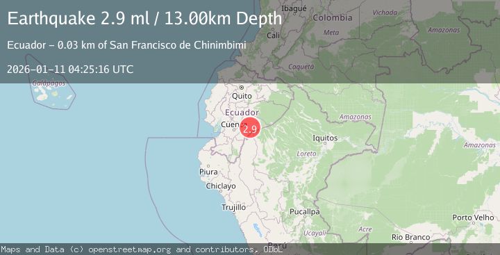
A 2.9 magnitude earthquake struck on PERU-ECUADOR BORDER REGION, at Sun, 11 Jan 2026 04:25:16 GMT. Depth: 13km. Reviewed by QUI seismologists, this minor quake occurred at a magnitude type of ml.
Magnitude
2.9
ml
Source
QUI
Intensity
I
Agency Reports
1 Sources| Source | Magnitude | Depth | Time |
|---|---|---|---|
| QUIPrimary | 2.9 | 13 km | 3 months ago |
Earthquake Details
AutomaticEvent IDemsc_QUI_20260111_0000064
QualityS
Tsunami PotentialNo
Magnitude Typeml
Last Update2 months ago
Felt Reports0
Did you feel this earthquake? Report it to help others.
No reports yet
Be the first to report this earthquake!
Latest Earthquakes
Loading...
Nearby Earthquakes
4.6Mag
Ecuador
Time1 week ago
Depth174.44 km
SourceVYT (Automatic)
3.0Mag
Ecuador
Time2 weeks ago
Depth128.05 km
SourceVYT (Automatic)
3.6Mag
ECUADOR
Time3 weeks ago
Depth45.00 km
SourceQUI (Automatic)
2.9Mag
Ecuador
Time3 weeks ago
Depth0.00 km
SourceVYT (Automatic)
3.6Mag
ECUADOR
Time1 month ago
Depth5.00 km
SourceQUI (Automatic)