Earthquake PERU-ECUADOR BORDER REGION
Tue, 17 Feb 2026 17:30:37 GMT
Time5 months ago
Location
-3.0800, -77.8800
Depth
64.0 KM
Event Summary
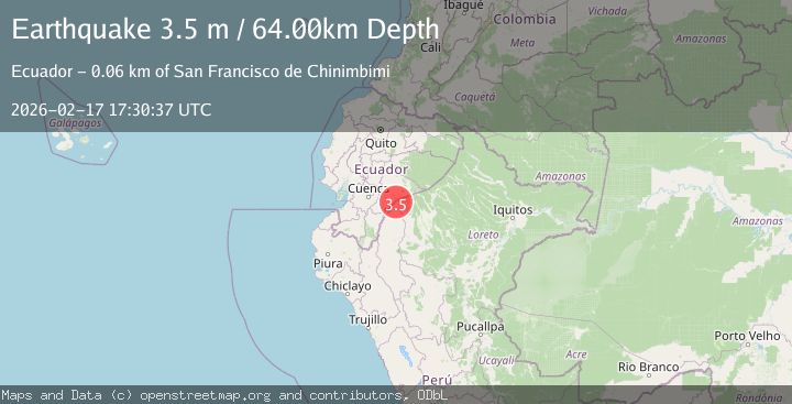
A 3.5 magnitude earthquake struck on PERU-ECUADOR BORDER REGION, at Tue, 17 Feb 2026 17:30:37 GMT. Depth: 64km. Reviewed by QUI seismologists, this minor quake occurred at a magnitude type of m.
Magnitude
3.5
m
Source
QUI
Intensity
I
Agency Reports
1 Sources| Source | Magnitude | Depth | Time |
|---|---|---|---|
| QUIPrimary | 3.5 | 64 km | 5 months ago |
Earthquake Details
AutomaticEvent IDemsc_QUI_20260217_0000257
QualityS
Tsunami PotentialNo
Magnitude Typem
Last Update5 months ago
Nearest Places
Possibly felt by: 486
- 76.3 km7.4K people
Felt Reports0
Did you feel this earthquake? Report it to help others.
No reports yet
Be the first to report this earthquake!
Latest Earthquakes
Loading...
Nearby Earthquakes
5.2Mag
Peru-Ecuador border region
Time2 months ago
Depth10.00 km
SourceVYT (Automatic)
3.6Mag
Peru-Ecuador border region
Time2 months ago
Depth163.94 km
SourceVYT (Automatic)
3.6Mag
PERU-ECUADOR BORDER REGION
Time2 months ago
Depth10.00 km
SourceQUI (Automatic)
3.8Mag
Peru-Ecuador border region
Time2 months ago
Depth125.85 km
SourceVYT (Automatic)
3.4Mag
ECUADOR
Time2 months ago
Depth20.00 km
SourceQUI (Automatic)