Earthquake MYANMAR
Tue, 17 Feb 2026 17:34:33 GMT
Time3 days ago
Location
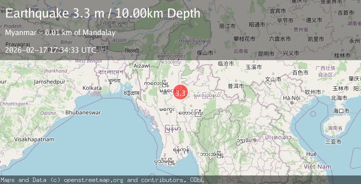
21.9170, 96.1510
Depth
10.0 KM
Event Summary
A 3.3 magnitude earthquake struck on MYANMAR, at Tue, 17 Feb 2026 17:34:33 GMT. Depth: 10km. Reviewed by TSB seismologists, this minor quake occurred at a magnitude type of m.
Magnitude
3.3
m
Source
TSB
Intensity
-
Agency Reports
1 Sources| Source | Magnitude | Depth | Time |
|---|---|---|---|
| TSBPrimary | 3.3 | 10 km | 3 days ago |
Earthquake Details
AutomaticEvent IDemsc_TSB_20260217_0000262
Tsunami PotentialNo
Magnitude Typem
Nearest Places
- 0.5 km
- 0.7 km
- 0.7 km
- 0.9 km
- 0.9 km
Comments
Join the discussion about this event.
Latest Earthquakes
1.2Mag
WESTERN TURKEY
Time19 hours ago
Depth7.60 km
SourceAFAD (Automatic)
3.5Mag
Flores region, Indonesia
Time19 hours ago
Depth638.55 km
SourceVYT (Automatic)
3.0Mag
South of Java, Indonesia
Time19 hours ago
Depth26.04 km
SourceBMKG
2.1Mag
Java, Indonesia
Time19 hours ago
Depth128.82 km
SourceBMKG
1.8Mag
60 km S of Whites City, New Mexico
Time19 hours ago
Depth3.28 km
SourceUSGS (Automatic)
Nearby Earthquakes
4.5Mag
MYANMAR
Time1 month ago
Depth65.00 km
SourceNDI (Automatic)
3.9Mag
MYANMAR
Time1 week ago
Depth11.00 km
SourceTSB (Automatic)
4.2Mag
MYANMAR
Time2 weeks ago
Depth10.00 km
SourceTSB (Automatic)
3.0Mag
MYANMAR
Time2 weeks ago
Depth10.00 km
SourceTSB (Automatic)
4.0Mag
MYANMAR
Time9 months ago
Depth10.00 km
SourceTSB (Automatic)