Earthquake GULF OF CALIFORNIA
Fri, 02 Jan 2026 10:43:39 GMT
Time2 months ago
Location
30.4310, -114.1330
Depth
15.0 KM
Event Summary
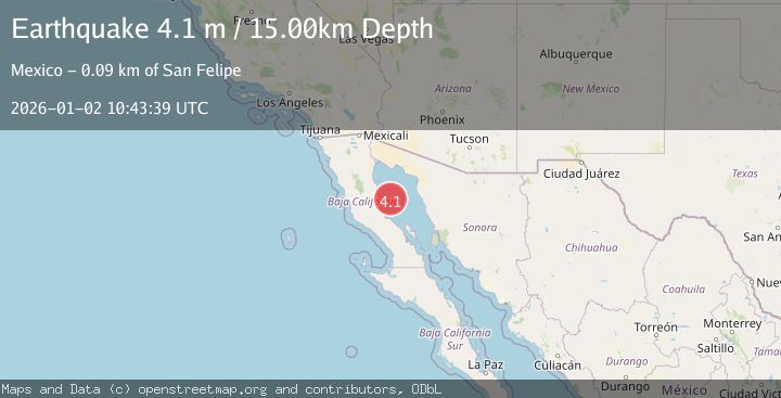
A 4.1 magnitude earthquake struck on GULF OF CALIFORNIA, at Fri, 02 Jan 2026 10:43:39 GMT. Depth: 15km. Reviewed by UNM seismologists, this light quake occurred at a magnitude type of m.
Magnitude
4.1
m
Source
UNM
Intensity
-
Agency Reports
1 Sources| Source | Magnitude | Depth | Time |
|---|---|---|---|
| UNMPrimary | 4.1 | 5 km | 2 months ago |
Earthquake Details
AutomaticEvent IDemsc_UNM_20260102_0000202
Tsunami PotentialNo
Magnitude Typem
Nearest Places
- 46.7 km
- 48.3 km
- 48.7 km
- 48.7 km
- 48.8 km
Comments
Join the discussion about this event.
Latest Earthquakes
1.3Mag
Southeastern Alaska
Time2 minutes ago
Depth3.91 km
SourceVYT (Automatic)
4.3Mag
South of Java, Indonesia
Time7 minutes ago
Depth10.00 km
SourceBMKG
2.0Mag
10 km SSE of Toledo, Washington
Time9 minutes ago
Depth7.23 km
SourceUSGS (Automatic)
2.7Mag
Minahassa Peninsula, Sulawesi
Time10 minutes ago
Depth109.45 km
SourceBMKG
2.5Mag
MINAHASA, SULAWESI, INDONESIA
Time10 minutes ago
Depth84.00 km
SourceBMKG (Automatic)
Nearby Earthquakes
4.0Mag
GULF OF CALIFORNIA
Time6 years ago
Depth12.00 km
SourceUNM (Automatic)
3.0Mag
GULF OF CALIFORNIA
Time8 months ago
Depth12.30 km
SourceUNM (Automatic)
3.6Mag
GULF OF CALIFORNIA
Time2 weeks ago
Depth10.00 km
SourceUNM (Automatic)
5.2Mag
GULF OF CALIFORNIA
Time11 years ago
Depth10.00 km
SourceEMSC (Automatic)
5.0Mag
GULF OF CALIFORNIA
Time11 years ago
Depth10.00 km
SourceEMSC (Automatic)