Earthquake WESTERN AUSTRALIA
Tue, 14 Apr 2026 09:50:54 GMT
Time2 weeks ago
Location
-30.7945, 121.4937
Depth
2.7 KM
Event Summary
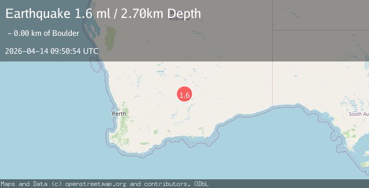
A 1.6 magnitude earthquake struck on WESTERN AUSTRALIA, at Tue, 14 Apr 2026 09:50:54 GMT. Depth: 2.7km. Reviewed by AUST seismologists, this minor quake occurred at a magnitude type of ml.
Magnitude
1.6
ml
Source
AUST
Intensity
I
Agency Reports
1 Sources| Source | Magnitude | Depth | Time |
|---|---|---|---|
| AUSTPrimary | 1.6 | 3 km | 2 weeks ago |
Earthquake Details
AutomaticEvent IDemsc_aust_20260414_0000194
QualityS
Tsunami PotentialNo
Magnitude Typeml
Last Update2 weeks ago
Nearest Places
Possibly felt by: 1.9K
- 1.4 km4.9K people
- 3.8 km4.8K people
- 4.7 km4.4K people
- 5.7 km4.2K people
- 6.4 km2.3K people
- 6.6 km1.4K people
- 7.4 km2K people
Felt Reports0
Did you feel this earthquake? Report it to help others.
No reports yet
Be the first to report this earthquake!
Latest Earthquakes
Loading...
Nearby Earthquakes
2.1Mag
Western Australia
Time1 hour ago
Depth0.00 km
SourceVYT (Automatic)
2.1Mag
Western Australia
Time5 hours ago
Depth0.00 km
SourceVYT (Automatic)
1.6Mag
Western Australia
Time5 hours ago
Depth0.00 km
SourceVYT (Automatic)
1.7Mag
Western Australia
Time1 day ago
Depth5.98 km
SourceVYT (Automatic)
1.5Mag
Western Australia
Time2 days ago
Depth0.00 km
SourceVYT (Automatic)