Earthquake SUNDA STRAIT, INDONESIA
Wed, 13 May 2026 03:45:13 GMT
Time2 days ago
Location
-5.5200, 105.0300
Depth
10.0 KM
Event Summary
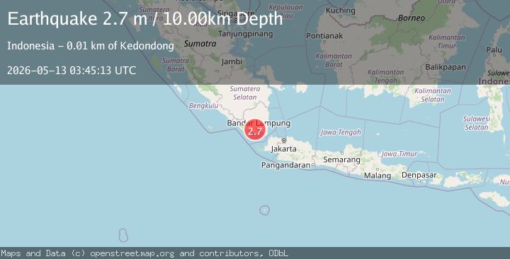
A 2.7 magnitude earthquake struck on SUNDA STRAIT, INDONESIA, at Wed, 13 May 2026 03:45:13 GMT. Depth: 10km. Reviewed by BMKG seismologists, this minor quake occurred at a magnitude type of m.
Magnitude
2.7
m
Source
BMKG
Intensity
II
Agency Reports
1 Sources| Source | Magnitude | Depth | Time |
|---|---|---|---|
| BMKGPrimary | 2.7 | 10 km | 2 days ago |
Earthquake Details
AutomaticEvent IDemsc_bmkg_20260513_0000060
QualityS
Tsunami PotentialNo
Magnitude Typem
Last Update2 days ago
Nearest Places
Possibly felt by: 115.5K
- 7.1 km
- 15.0 km
- 16.8 km
- 16.9 km
- 19.0 km
- 24.9 km
- 27.5 km1.2M people
- 29.6 km
- 29.6 km
- 32.5 km
- 33.6 km
- 39.0 km
- 42.2 km
Felt Reports0
Did you feel this earthquake? Report it to help others.
No reports yet
Be the first to report this earthquake!
Latest Earthquakes
Loading...
Nearby Earthquakes
2.3Mag
Southern Sumatra, Indonesia
Time8 hours ago
Depth2.72 km
SourceBMKG
2.1Mag
Southern Sumatra, Indonesia
Time1 week ago
Depth11.09 km
SourceBMKG
2.5Mag
Southern Sumatra, Indonesia
Time1 week ago
Depth10.00 km
SourceBMKG
4.8Mag
Sunda Strait, Indonesia
Time1 week ago
Depth81.43 km
SourceBMKG
2.4Mag
Southern Sumatra, Indonesia
Time1 week ago
Depth5.00 km
SourceBMKG