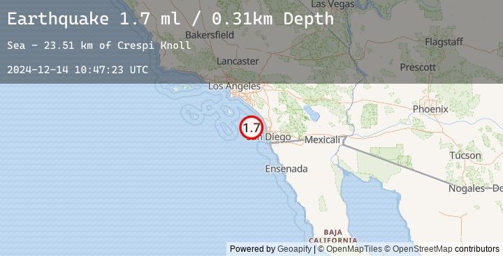
Earthquake 40 km WSW of Encinitas, CA
Sat, 14 Dec 2024 10:47:23 GMT
Time
1 year ago
Location
32.9410, -117.7008
Depth
0.3 KM
Event Summary
A 1.7 magnitude earthquake struck on 40 km WSW of Encinitas, CA, at Sat, 14 Dec 2024 10:47:23 GMT. Depth: 0.31km. Reviewed by USGS seismologists, this minor quake occurred at a magnitude type of ml.
Magnitude
1.7
ml
Source
USGS
Intensity
-
Earthquake Details
AutomaticEvent IDusgs_ci41001768
Tsunami PotentialNo
Magnitude Typeml
Nearest Places
- Crespi Knoll23.5 km
- Loma Canyon28.1 km
- Thirtymile Bank31.5 km
- San Diego Trough32.4 km
- Carlsbad Canyon33.2 km
Comments
Join the discussion about this event.
Latest Earthquakes
2.8Mag
Java, Indonesia
Time
23 minutes ago
Depth11.39 km
SourceBMKG (Automatic)
2.9Mag
Java, Indonesia
Time
25 minutes ago
Depth18.75 km
SourceBMKG (Automatic)
2.2Mag
WESTERN TURKEY
Time
32 minutes ago
Depth7.00 km
SourceEMSC (Automatic)
3.3Mag
LOMBOK REGION, INDONESIA
Time
38 minutes ago
Depth26.00 km
SourceEMSC (Automatic)
3.4Mag
Sumbawa Region, Indonesia
Time
38 minutes ago
Depth10.00 km
SourceBMKG (Automatic)
Nearby Earthquakes
No significant earthquakes nearby recently.