Earthquake 16 km SSE of Progreso, B.C., MX
Sat, 03 Jan 2026 14:27:36 GMT
Time3 days ago
Location
32.4413, -115.5287
Depth
9.3 KM
Event Summary
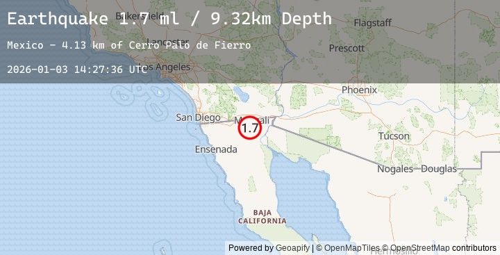
A 1.7 magnitude earthquake struck on 16 km SSE of Progreso, B.C., MX, at Sat, 03 Jan 2026 14:27:36 GMT. Depth: 9.32km. Reviewed by USGS seismologists, this minor quake occurred at a magnitude type of ml.
Magnitude
1.7
ml
Source
USGS
Intensity
-
Agency Reports
1 Sources| Source | Magnitude | Depth | Time |
|---|---|---|---|
| USGSPrimary | 1.7 | 9 km | 3 days ago |
Earthquake Details
AutomaticEvent IDusgs_ci41151647
Tsunami PotentialNo
Magnitude Typeml
Nearest Places
- Cerro Chaparro4.8 km
- Cerro Palo de Fierro4.8 km
- Sierrita Prieta6.8 km
- Sierra Cucapa7.0 km
- Cerro Nuevo8.7 km
Comments
Join the discussion about this event.
Latest Earthquakes
2.0Mag
Sumbawa Region, Indonesia
Time3 days ago
Depth24.01 km
SourceBMKG (Automatic)
3.5Mag
MINDORO, PHILIPPINES
Time3 days ago
Depth10.00 km
SourcePIVS (Automatic)
1.0Mag
40 km SSW of South Van Horn, Alaska
Time3 days ago
Depth13.90 km
SourceUSGS (Automatic)
1.8Mag
22 km S of Westbrook, Texas
Time3 days ago
Depth0.92 km
SourceUSGS (Automatic)
3.2Mag
EASTERN TURKEY
Time3 days ago
Depth8.60 km
SourceAFAD (Automatic)