Earthquake 18 km W of Petrolia, CA
Fri, 06 Dec 2024 07:06:03 GMT
Time
1 year ago
Location
40.2812, -124.4915
Depth
21.6 KM
Event Summary
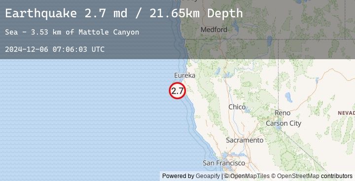
A 2.7 magnitude earthquake struck on 18 km W of Petrolia, CA, at Fri, 06 Dec 2024 07:06:03 GMT. Depth: 21.6499996185303km. Reviewed by USGS seismologists, this minor quake occurred at a magnitude type of md.
Magnitude
2.7
md
Source
USGS
Intensity
-
Earthquake Details
AutomaticEvent IDusgs_nc75097276
Tsunami PotentialNo
Magnitude Typemd
Nearest Places
- Mattole Canyon3.5 km
- Christmas Rock9.9 km
- Mendocino Canyon10.1 km
- Conical Rock11.0 km
- Gorda Rock11.0 km
Comments
Join the discussion about this event.
Latest Earthquakes
2.1Mag
West Papua Region, Indonesia
Time
10 minutes ago
Depth10.00 km
SourceBMKG (Automatic)
2.0Mag
Sumbawa Region, Indonesia
Time
11 minutes ago
Depth15.02 km
SourceBMKG (Automatic)
2.8Mag
South of Java, Indonesia
Time
19 minutes ago
Depth15.94 km
SourceBMKG (Automatic)
2.8Mag
SOUTH OF JAVA, INDONESIA
Time
19 minutes ago
Depth16.00 km
SourceEMSC (Automatic)
4.7Mag
Northern Molucca Sea
Time
22 minutes ago
Depth47.87 km
SourceBMKG (Automatic)