Earthquake 56 km WNW of Petrolia, CA
Fri, 06 Dec 2024 13:43:38 GMT
Time
1 year ago
Location
40.3573, -124.9458
Depth
1.0 KM
Event Summary
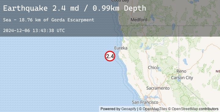
A 2.4 magnitude earthquake struck on 56 km WNW of Petrolia, CA, at Fri, 06 Dec 2024 13:43:38 GMT. Depth: 0.990000009536743km. Reviewed by USGS seismologists, this minor quake occurred at a magnitude type of md.
Magnitude
2.4
md
Source
USGS
Intensity
-
Earthquake Details
AutomaticEvent IDusgs_nc75097651
Tsunami PotentialNo
Magnitude Typemd
Nearest Places
- Gorda Escarpment18.7 km
- Bear Valley21.7 km
- Mendocino Canyon28.7 km
- Blunts Reef Coast Guard Station38.7 km
- Blunts Reef Lightship (historical)39.1 km
Comments
Join the discussion about this event.
Latest Earthquakes
2.5Mag
Timor Region
Time
8 minutes ago
Depth25.10 km
SourceBMKG (Automatic)
2.3Mag
Sulawesi, Indonesia
Time
12 minutes ago
Depth19.58 km
SourceBMKG (Automatic)
2.8Mag
Northern Molucca Sea
Time
23 minutes ago
Depth195.30 km
SourceBMKG (Automatic)
2.2Mag
Sumbawa Region, Indonesia
Time
24 minutes ago
Depth212.77 km
SourceBMKG (Automatic)
3.4Mag
Near North Coast of West Papua
Time
29 minutes ago
Depth19.44 km
SourceBMKG (Automatic)
Nearby Earthquakes
No significant earthquakes nearby recently.