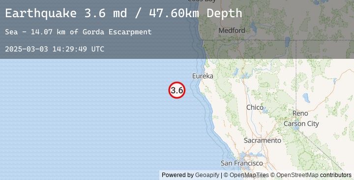
Earthquake 88 km W of Petrolia, CA
Mon, 03 Mar 2025 14:29:49 GMT
Time
9 months ago
Location
40.3170, -125.3192
Depth
47.6 KM
Event Summary
A 3.6 magnitude earthquake struck on 88 km W of Petrolia, CA, at Mon, 03 Mar 2025 14:29:49 GMT. Depth: 47.5999984741211km. Reviewed by USGS seismologists, this minor quake occurred at a magnitude type of md.
Magnitude
3.6
md
Source
USGS
Intensity
-
Earthquake Details
ConfirmedEvent IDusgs_nc75142111
Tsunami PotentialNo
Magnitude Typemd
Nearest Places
- Gorda Escarpment14.1 km
- Eel Fan39.1 km
- Bear Valley51.6 km
- Gorda Valley53.9 km
- Mendocino Canyon60.5 km
Comments
Join the discussion about this event.
Latest Earthquakes
2.1Mag
West Papua Region, Indonesia
Time
11 minutes ago
Depth10.00 km
SourceBMKG (Automatic)
2.0Mag
Sumbawa Region, Indonesia
Time
11 minutes ago
Depth15.02 km
SourceBMKG (Automatic)
2.8Mag
South of Java, Indonesia
Time
19 minutes ago
Depth15.94 km
SourceBMKG (Automatic)
2.8Mag
SOUTH OF JAVA, INDONESIA
Time
19 minutes ago
Depth16.00 km
SourceEMSC (Automatic)
4.7Mag
Northern Molucca Sea
Time
22 minutes ago
Depth47.87 km
SourceBMKG (Automatic)