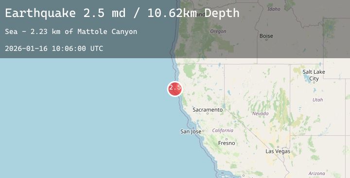
Earthquake 14 km W of Petrolia, CA
Fri, 16 Jan 2026 10:06:00 GMT
Time1 hour ago
Location
40.3033, -124.4492
Depth
10.6 KM
Event Summary
A 2.5 magnitude earthquake struck on 14 km W of Petrolia, CA, at Fri, 16 Jan 2026 10:06:00 GMT. Depth: 10.6199998855591km. Reviewed by USGS seismologists, this minor quake occurred at a magnitude type of md.
Magnitude
2.5
md
Source
USGS
Intensity
-
Agency Reports
1 Sources| Source | Magnitude | Depth | Time |
|---|---|---|---|
| USGSPrimary | 2.5 | 11 km | 1 hour ago |
Earthquake Details
AutomaticEvent IDusgs_nc75296501
Tsunami PotentialNo
Magnitude Typemd
Nearest Places
- Mattole Canyon2.2 km
- Mendocino Canyon7.0 km
- Christmas Rock7.1 km
- The Brothers7.8 km
- Mattole Beach8.0 km
Comments
Join the discussion about this event.
Latest Earthquakes
2.5Mag
NORTHERN ITALY
Time2 hours ago
Depth5.00 km
SourceEMSC (Automatic)
0.9Mag
CENTRAL TURKEY
Time2 hours ago
Depth7.00 km
SourceAFAD (Automatic)
2.1Mag
ISLAND OF HAWAII, HAWAII
Time2 hours ago
Depth28.20 km
SourceHV (Automatic)
1.3Mag
20 km SE of Midland, Texas
Time2 hours ago
Depth4.50 km
SourceUSGS (Automatic)
2.8Mag
Java, Indonesia
Time2 hours ago
Depth10.04 km
SourceBMKG (Automatic)