Earthquake 95 km N of Charlotte Amalie, U.S. Virgin Islands
Tue, 20 Jan 2026 20:52:41 GMT
Time1 week ago
Location
19.2063, -64.9201
Depth
61.0 KM
Event Summary
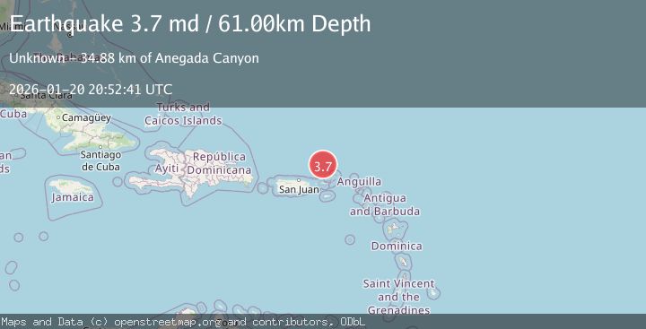
A 3.7 magnitude earthquake struck on 95 km N of Charlotte Amalie, U.S. Virgin Islands, at Tue, 20 Jan 2026 20:52:41 GMT. Depth: 61km. Reviewed by USGS seismologists, this minor quake occurred at a magnitude type of md.
Magnitude
3.7
md
Source
USGS
Intensity
-
Agency Reports
1 Sources| Source | Magnitude | Depth | Time |
|---|---|---|---|
| USGSPrimary | 3.7 | 61 km | 1 week ago |
Earthquake Details
ConfirmedEvent IDusgs_pr2026020000
Tsunami PotentialNo
Magnitude Typemd
Nearest Places
- Anegada Canyon34.8 km
- Whale Banks60.9 km
- Turtle Head67.5 km
- Barracouta Banks71.3 km
- Amphitheaters Ridge72.4 km
Comments
Join the discussion about this event.
Latest Earthquakes
2.4Mag
Java, Indonesia
Time22 hours ago
Depth5.00 km
SourceBMKG (Automatic)
1.6Mag
2 km NE of Grand Terrace, CA
Time22 hours ago
Depth12.58 km
SourceUSGS (Automatic)
3.7Mag
TARAPACA, CHILE
Time22 hours ago
Depth113.00 km
SourceCSN (Automatic)
2.1Mag
NORTHERN ITALY
Time22 hours ago
Depth8.80 km
SourceETHZ (Automatic)
1.4Mag
20 km N of Indio, CA
Time22 hours ago
Depth2.60 km
SourceUSGS (Automatic)
Nearby Earthquakes
3.1Mag
VIRGIN ISLANDS REGION
Time5 days ago
Depth30.20 km
SourcePR (Automatic)
3.7Mag
VIRGIN ISLANDS REGION
Time4 days ago
Depth35.00 km
SourceNEIC (Automatic)
3.3Mag
VIRGIN ISLANDS REGION
Time3 days ago
Depth28.60 km
SourcePR (Automatic)
3.1Mag
VIRGIN ISLANDS REGION
Time2 days ago
Depth43.00 km
SourcePR (Automatic)
3.5Mag
73 km N of Cruz Bay, U.S. Virgin Islands
Time2 days ago
Depth46.00 km
SourceUSGS