Earthquake 72 km NNE of Cruz Bay, U.S. Virgin Islands
Mon, 09 Feb 2026 19:58:39 GMT
Time1 week ago
Location
18.9397, -64.5493
Depth
20.8 KM
Event Summary
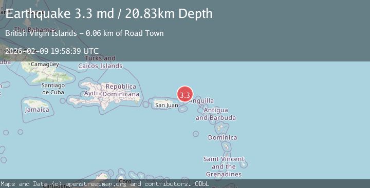
A 3.3 magnitude earthquake struck on 72 km NNE of Cruz Bay, U.S. Virgin Islands, at Mon, 09 Feb 2026 19:58:39 GMT. Depth: 20.83km. Reviewed by USGS seismologists, this minor quake occurred at a magnitude type of md.
Magnitude
3.3
md
Source
USGS
Intensity
-
Agency Reports
2 Sources| Source | Magnitude | Depth | Time |
|---|---|---|---|
| USGSPrimary | 3.3 | 21 km | 1 week ago |
| PR | 3.3 | 21 km | 1 week ago |
Earthquake Details
ConfirmedEvent IDusgs_pr71507448
Tsunami PotentialNo
Magnitude Typemd
Nearest Places
- 26.1 km
- 26.2 km
- 26.3 km
- 26.4 km
- 26.4 km
Comments
Join the discussion about this event.
Latest Earthquakes
1.6Mag
Southern California
Time21 hours ago
Depth50.05 km
SourceVYT (Automatic)
2.1Mag
Java, Indonesia
Time21 hours ago
Depth10.95 km
SourceBMKG
3.4Mag
Tarapaca, Chile
Time21 hours ago
Depth94.36 km
SourceVYT (Automatic)
2.0Mag
Washington
Time21 hours ago
Depth20.39 km
SourceVYT (Automatic)
2.4Mag
ISLAND OF HAWAII, HAWAII
Time21 hours ago
Depth33.70 km
SourceHV (Automatic)
Nearby Earthquakes
3.1Mag
VIRGIN ISLANDS REGION
Time1 month ago
Depth42.30 km
SourcePR (Automatic)
3.0Mag
VIRGIN ISLANDS REGION
Time10 years ago
Depth25.00 km
SourceNEIC (Automatic)
3.0Mag
VIRGIN ISLANDS REGION
Time11 years ago
Depth6.00 km
SourceNEIR (Automatic)
4.3Mag
VIRGIN ISLANDS REGION
Time1 week ago
Depth49.30 km
SourceNEIC (Automatic)
3.0Mag
VIRGIN ISLANDS REGION
Time10 years ago
Depth24.00 km
SourceNEIR (Automatic)