Earthquake 68 km N of Charlotte Amalie, U.S. Virgin Islands
Thu, 27 Feb 2025 14:23:47 GMT
Time
9 months ago
Location
18.9467, -65.0503
Depth
43.4 KM
Event Summary
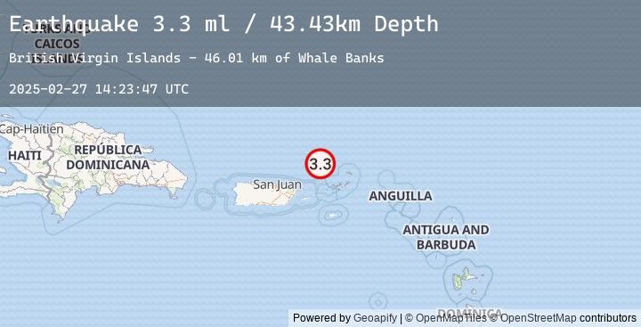
A 3.3 magnitude earthquake struck on 68 km N of Charlotte Amalie, U.S. Virgin Islands, at Thu, 27 Feb 2025 14:23:47 GMT. Depth: 43.434km. Reviewed by USGS seismologists, this minor quake occurred at a magnitude type of ml.
Magnitude
3.3
ml
Source
USGS
Intensity
-
Earthquake Details
ConfirmedEvent IDusgs_us6000pvtn
Tsunami PotentialNo
Magnitude Typeml
Nearest Places
- Whale Banks46.0 km
- Barracouta Banks46.5 km
- Turtle Head47.1 km
- Molinos Canyon52.0 km
- Virgin Islands Shelf59.6 km
Comments
Join the discussion about this event.
Latest Earthquakes
2.8Mag
Java, Indonesia
Time
14 minutes ago
Depth11.39 km
SourceBMKG (Automatic)
2.9Mag
Java, Indonesia
Time
16 minutes ago
Depth18.75 km
SourceBMKG (Automatic)
2.2Mag
WESTERN TURKEY
Time
23 minutes ago
Depth7.00 km
SourceEMSC (Automatic)
3.3Mag
LOMBOK REGION, INDONESIA
Time
29 minutes ago
Depth26.00 km
SourceEMSC (Automatic)
3.4Mag
Sumbawa Region, Indonesia
Time
29 minutes ago
Depth10.00 km
SourceBMKG (Automatic)
Nearby Earthquakes
No significant earthquakes nearby recently.