Earthquake 38 km WNW of Malango, Solomon Islands
Sat, 14 Feb 2026 03:12:29 GMT
Time3 months ago
Location
-9.5181, 159.4145
Depth
12.6 KM
Event Summary
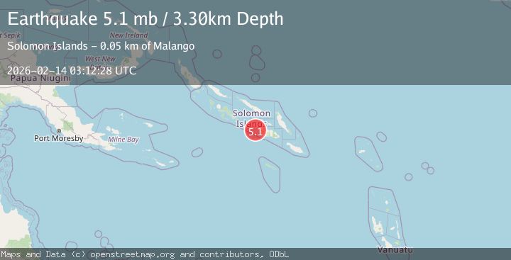
A 5.1 magnitude earthquake struck on 38 km WNW of Malango, Solomon Islands, at Sat, 14 Feb 2026 03:12:29 GMT. Depth: 12.637km. Reviewed by USGS seismologists, this moderate quake occurred at a magnitude type of mb.
Magnitude
5.1
mb
Source
USGS
Intensity
IV
Agency Reports
3 Sources| Source | Magnitude | Depth | Time |
|---|---|---|---|
| USGSPrimary | 5.1 | 13 km | 3 months ago |
| NEIC | 5.1 | 13 km | 3 months ago |
| EMSC | 5.1 | 3 km | 3 months ago |
Earthquake Details
ConfirmedEvent IDusgs_us6000s95m
QualityS
Tsunami PotentialNo
Magnitude Typemb
Last Update2 months ago
Felt Reports0
Did you feel this earthquake? Report it to help others.
No reports yet
Be the first to report this earthquake!
Latest Earthquakes
Loading...
Nearby Earthquakes
5.5Mag
Solomon Islands
Time3 days ago
Depth0.00 km
SourceVYT (Automatic)
4.3Mag
SOLOMON ISLANDS
Time3 months ago
Depth10.00 km
SourceNEIC (Automatic)
4.3Mag
SOLOMON ISLANDS
Time3 months ago
Depth10.00 km
SourceNEIC (Automatic)
4.9Mag
SOLOMON ISLANDS
Time3 months ago
Depth10.00 km
SourceNEIC (Automatic)
4.8Mag
SOLOMON ISLANDS
Time3 months ago
Depth9.40 km
SourceNEIC (Automatic)