Earthquake 17 km SSW of Santa Gertrudis Miramar, Mexico
Tue, 20 Jan 2026 11:30:13 GMT
Time1 week ago
Location
15.9301, -95.4789
Depth
41.6 KM
Event Summary
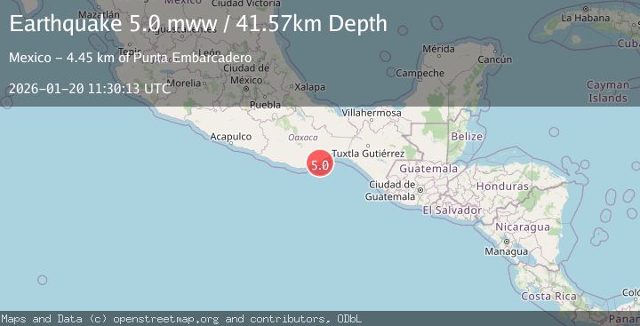
A 5.0 magnitude earthquake struck on 17 km SSW of Santa Gertrudis Miramar, Mexico, at Tue, 20 Jan 2026 11:30:13 GMT. Depth: 41.573km. Reviewed by USGS seismologists, this moderate quake occurred at a magnitude type of mww.
Magnitude
5.0
mww
Source
USGS
Intensity
-
Agency Reports
1 Sources| Source | Magnitude | Depth | Time |
|---|---|---|---|
| USGSPrimary | 5.0 | 42 km | 1 week ago |
Earthquake Details
ConfirmedEvent IDusgs_us7000rqte
Tsunami PotentialNo
Magnitude Typemww
Nearest Places
- Punta Embarcadero4.4 km
- Laguna Blanca5.9 km
- Palmarillo5.9 km
- Garrapatero6.5 km
- Laguna Zaachilac6.7 km
Comments
Join the discussion about this event.
Latest Earthquakes
2.4Mag
Java, Indonesia
Time18 hours ago
Depth5.00 km
SourceBMKG (Automatic)
1.6Mag
2 km NE of Grand Terrace, CA
Time19 hours ago
Depth12.58 km
SourceUSGS (Automatic)
3.7Mag
TARAPACA, CHILE
Time19 hours ago
Depth113.00 km
SourceCSN (Automatic)
2.1Mag
NORTHERN ITALY
Time19 hours ago
Depth8.80 km
SourceETHZ (Automatic)
1.4Mag
20 km N of Indio, CA
Time19 hours ago
Depth2.60 km
SourceUSGS (Automatic)
Nearby Earthquakes
4.5Mag
OFFSHORE OAXACA, MEXICO
Time6 days ago
Depth60.60 km
SourceUNM (Automatic)
4.1Mag
Near Coast of Oaxaca, Mexico
Time1 week ago
Depth16.20 km
SourceUNAM (Automatic)
4.1Mag
OFFSHORE OAXACA, MEXICO
Time4 days ago
Depth4.70 km
SourceUNM (Automatic)
4.1Mag
OFFSHORE CHIAPAS, MEXICO
Time5 days ago
Depth16.10 km
SourceUNM (Automatic)
4.2Mag
OFFSHORE CHIAPAS, MEXICO
Time1 day ago
Depth81.10 km
SourceUNM (Automatic)