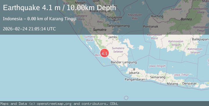
Earthquake southern Sumatra, Indonesia
Tue, 24 Feb 2026 21:05:15 GMT
Time1 hour ago
Location
-3.7504, 102.4116
Depth
21.1 KM
Event Summary
A 4.0 magnitude earthquake struck on southern Sumatra, Indonesia, at Tue, 24 Feb 2026 21:05:15 GMT. Depth: 21.1181640625km. Reviewed by VYT seismologists, this light quake occurred at a magnitude type of earthquake.
Magnitude
4.0
earthquake
Source
VYT
Intensity
-
Agency Reports
1 Sources| Source | Magnitude | Depth | Time |
|---|---|---|---|
| VYTPrimary | 4.0 | 21 km | 1 hour ago |
Earthquake Details
AutomaticEvent IDvyt_17k8iow9ikykh
Tsunami PotentialNo
Magnitude Typeearthquake
Nearest Places
- 0.6 km
- 0.8 km
- 1.2 km
- 1.2 km
- 1.5 km
Comments
Join the discussion about this event.
Latest Earthquakes
1.9Mag
Southern Alaska
Time1 hour ago
Depth0.12 km
SourceVYT (Automatic)
1.0Mag
23 km E of Little Lake, CA
Time1 hour ago
Depth1.87 km
SourceUSGS (Automatic)
1.1Mag
8 km NW of The Geysers, CA
Time1 hour ago
Depth1.58 km
SourceUSGS (Automatic)
1.6Mag
16 km WSW of Bunkerville, Nevada
Time1 hour ago
Depth15.98 km
SourceUSGS (Automatic)
2.8Mag
Minahassa Peninsula, Sulawesi
Time1 hour ago
Depth5.00 km
SourceBMKG
Nearby Earthquakes
3.0Mag
SOUTHERN SUMATRA, INDONESIA
Time3 years ago
Depth82.00 km
SourceDJA (Automatic)
3.0Mag
SOUTHERN SUMATRA, INDONESIA
Time8 years ago
Depth1.00 km
SourceDJA (Automatic)
3.0Mag
SOUTHERN SUMATRA, INDONESIA
Time8 years ago
Depth8.00 km
SourceDJA (Automatic)
5.7Mag
SOUTHERN SUMATRA, INDONESIA
Time20 years ago
Depth60.00 km
SourceEMSC (Automatic)
3.6Mag
Southern Sumatra, Indonesia
Time3 weeks ago
Depth72.51 km
SourceBMKG (Automatic)