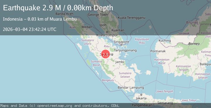
Earthquake southern Sumatra, Indonesia
Wed, 04 Mar 2026 23:42:24 GMT
Time5 hours ago
Location
-0.1166, 101.5041
Depth
0.0 KM
Event Summary
A 2.9 magnitude earthquake struck on southern Sumatra, Indonesia, at Wed, 04 Mar 2026 23:42:24 GMT. Depth: 0km. Reviewed by VYT seismologists, this minor quake occurred at a magnitude type of M.
Magnitude
2.9
M
Source
VYT
Intensity
-
Agency Reports
1 Sources| Source | Magnitude | Depth | Time |
|---|---|---|---|
| VYTPrimary | 2.9 | 0 km | 5 hours ago |
Earthquake Details
AutomaticEvent IDvyt_19usa9sye51xz
Tsunami PotentialNo
Magnitude TypeM
Nearest Places
- 5.5 km
- 6.6 km
- 7.7 km
- 8.9 km
- 9.6 km
Comments
Join the discussion about this event.
Latest Earthquakes
1.4Mag
Tarapaca, Chile
Time5 hours ago
Depth32.47 km
SourceVYT (Automatic)
2.0Mag
Southern Alaska
Time5 hours ago
Depth122.80 km
SourceVYT (Automatic)
2.9Mag
Northern Molucca Sea
Time5 hours ago
Depth59.33 km
SourceBMKG
1.4Mag
WESTERN TURKEY
Time5 hours ago
Depth7.00 km
SourceAFAD (Automatic)
2.0Mag
3 km SW of Guánica, Puerto Rico
Time5 hours ago
Depth9.71 km
SourceUSGS
Nearby Earthquakes
5.0Mag
SOUTHERN SUMATRA, INDONESIA
Time2 years ago
Depth251.00 km
SourceEMSC (Automatic)
2.7Mag
SOUTHERN SUMATRA, INDONESIA
Time2 months ago
Depth107.00 km
SourceBMKG (Automatic)
5.1Mag
SOUTHERN SUMATRA, INDONESIA
Time15 years ago
Depth168.00 km
SourceEMSC (Automatic)
5.0Mag
SOUTHERN SUMATRA, INDONESIA
Time19 years ago
Depth10.00 km
SourceEMSC (Automatic)
3.4Mag
southern Sumatra, Indonesia
Time3 weeks ago
Depth0.00 km
SourceVYT (Automatic)