Earthquake near the north coast of Papua, Indonesia
Thu, 05 Mar 2026 01:34:30 GMT
Time2 hours ago
Location
-2.7306, 139.0961
Depth
29.4 KM
Event Summary
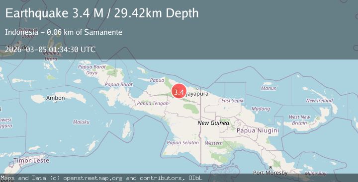
A 3.4 magnitude earthquake struck on near the north coast of Papua, Indonesia, at Thu, 05 Mar 2026 01:34:30 GMT. Depth: 29.4189453125km. Reviewed by VYT seismologists, this minor quake occurred at a magnitude type of M.
Magnitude
3.4
M
Source
VYT
Intensity
-
Agency Reports
1 Sources| Source | Magnitude | Depth | Time |
|---|---|---|---|
| VYTPrimary | 3.4 | 29 km | 2 hours ago |
Earthquake Details
AutomaticEvent IDvyt_1h8hi6cecg0bh
Tsunami PotentialNo
Magnitude TypeM
Nearest Places
- 8.6 km
- 11.2 km
- 18.4 km
- 19.1 km
- 21.8 km
Comments
Join the discussion about this event.
Latest Earthquakes
1.0Mag
4 km ENE of Loma Linda, CA
Time1 hour ago
Depth1.26 km
SourceUSGS (Automatic)
2.1Mag
Southern Alaska
Time1 hour ago
Depth25.02 km
SourceVYT (Automatic)
4.8Mag
Banda Sea
Time1 hour ago
Depth545.78 km
SourceVYT (Automatic)
2.8Mag
Sumbawa Region, Indonesia
Time1 hour ago
Depth17.18 km
SourceBMKG
3.9Mag
Rat Islands, Aleutian Islands, Alaska
Time1 hour ago
Depth10.00 km
SourceVYT (Automatic)
Nearby Earthquakes
5.1Mag
NEAR N COAST OF PAPUA, INDONESIA
Time21 years ago
Depth60.00 km
SourceEMSC (Automatic)
5.5Mag
NEAR N COAST OF PAPUA, INDONESIA
Time17 years ago
Depth40.00 km
SourceEMSC (Automatic)
4.0Mag
NEAR N COAST OF PAPUA, INDONESIA
Time5 years ago
Depth10.00 km
SourceDJA (Automatic)
5.5Mag
NEAR N COAST OF PAPUA, INDONESIA
Time3 years ago
Depth30.00 km
SourceEMSC (Automatic)
5.1Mag
NEAR N COAST OF PAPUA, INDONESIA
Time3 years ago
Depth33.00 km
SourceEMSC (Automatic)