Earthquake Western Australia
Fri, 27 Feb 2026 05:11:37 GMT
Time1 hour ago
Location
-30.8040, 121.1634
Depth
1.0 KM
Event Summary
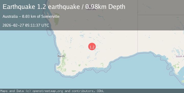
A 1.2 magnitude earthquake struck on Western Australia, at Fri, 27 Feb 2026 05:11:37 GMT. Depth: 0.9765625km. Reviewed by VYT seismologists, this minor quake occurred at a magnitude type of earthquake.
Magnitude
1.2
earthquake
Source
VYT
Intensity
-
Agency Reports
1 Sources| Source | Magnitude | Depth | Time |
|---|---|---|---|
| VYTPrimary | 1.2 | 1 km | 1 hour ago |
Earthquake Details
AutomaticEvent IDvyt_1i24xkpx0o3j7
Tsunami PotentialNo
Magnitude Typeearthquake
Nearest Places
- 2.5 km
- 4.1 km
- 4.4 km
- 4.5 km
- 4.6 km
Comments
Join the discussion about this event.
Latest Earthquakes
2.8Mag
Salta, Argentina
Time1 hour ago
Depth223.27 km
SourceVYT (Automatic)
2.3Mag
offshore Valparaiso, Chile
Time1 hour ago
Depth5.37 km
SourceVYT (Automatic)
0.9Mag
Central Alaska
Time1 hour ago
Depth0.00 km
SourceVYT (Automatic)
5.0Mag
Andreanof Islands, Aleutian Islands, Alaska
Time1 hour ago
Depth4.15 km
SourceVYT (Automatic)
2.5Mag
Antofagasta, Chile
Time1 hour ago
Depth178.22 km
SourceVYT (Automatic)
Nearby Earthquakes
3.0Mag
WESTERN AUSTRALIA
Time10 years ago
Depth14.00 km
SourceAUST (Automatic)
3.0Mag
WESTERN AUSTRALIA
Time6 years ago
Depth2.00 km
SourceAUST (Automatic)
2.9Mag
WESTERN AUSTRALIA
Time3 weeks ago
Depth5.00 km
SourceAUST (Automatic)
3.0Mag
WESTERN AUSTRALIA
Time1 year ago
Depth3.00 km
SourceAUST (Automatic)
1.5Mag
Western Australia
Time1 day ago
Depth6.71 km
SourceVYT (Automatic)