Earthquake southern Sumatra, Indonesia
Tue, 10 Feb 2026 18:03:40 GMT
Time1 week ago
Location
-2.1715, 102.2033
Depth
0.0 KM
Event Summary
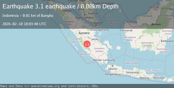
A 3.1 magnitude earthquake struck on southern Sumatra, Indonesia, at Tue, 10 Feb 2026 18:03:40 GMT. Depth: 0km. Reviewed by VYT seismologists, this minor quake occurred at a magnitude type of earthquake.
Magnitude
3.1
earthquake
Source
VYT
Intensity
-
Agency Reports
2 Sources| Source | Magnitude | Depth | Time |
|---|---|---|---|
| VYTPrimary | 3.1 | 195 km | 1 week ago |
| BMKG | 2.3 | 165 km | 1 week ago |
Earthquake Details
AutomaticEvent IDvyt_1q1wxjal1t1az
Tsunami PotentialNo
Magnitude Typeearthquake
Nearest Places
- Desa Pulau Rengas Ulu2.0 km
- Desa Bedeng Rejo2.3 km
- Kecamatan Bangko Barat3.4 km
- Desa Biuku Tanjung4.4 km
- Desa Sekancing Ilir5.9 km
Comments
Join the discussion about this event.
Latest Earthquakes
3.2Mag
Tarapaca, Chile
Time6 hours ago
Depth111.21 km
SourceVYT (Automatic)
2.0Mag
CENTRAL TURKEY
Time6 hours ago
Depth3.40 km
SourceKOERI (Automatic)
2.7Mag
Central Alaska
Time6 hours ago
Depth82.89 km
SourceVYT (Automatic)
1.5Mag
western Texas
Time6 hours ago
Depth0.49 km
SourceVYT (Automatic)
1.7Mag
STRAIT OF GIBRALTAR
Time6 hours ago
Depth1.50 km
SourceIGN (Automatic)
Nearby Earthquakes
4.0Mag
SOUTHERN SUMATRA, INDONESIA
Time3 years ago
Depth223.00 km
SourceNEIC (Automatic)
3.3Mag
SOUTHERN SUMATRA, INDONESIA
Time1 month ago
Depth181.00 km
SourceBMKG (Automatic)
3.0Mag
SOUTHERN SUMATRA, INDONESIA
Time3 years ago
Depth178.00 km
SourceDJA (Automatic)
5.0Mag
SOUTHERN SUMATRA, INDONESIA
Time11 years ago
Depth190.00 km
SourceEMSC (Automatic)
4.0Mag
SOUTHERN SUMATRA, INDONESIA
Time11 months ago
Depth202.00 km
SourceBMKG (Automatic)