Earthquake northern Sumatra, Indonesia
Thu, 05 Mar 2026 00:53:00 GMT
Time1 hour ago
Location
2.1831, 97.7569
Depth
20.3 KM
Event Summary
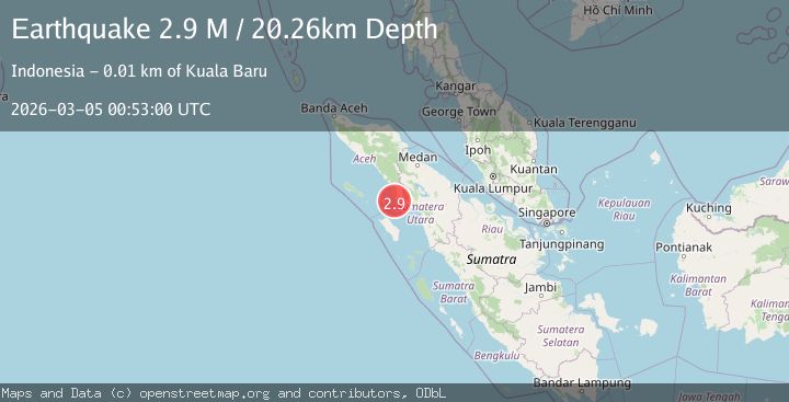
A 2.9 magnitude earthquake struck on northern Sumatra, Indonesia, at Thu, 05 Mar 2026 00:53:00 GMT. Depth: 20.263671875km. Reviewed by VYT seismologists, this minor quake occurred at a magnitude type of M.
Magnitude
2.9
M
Source
VYT
Intensity
-
Agency Reports
1 Sources| Source | Magnitude | Depth | Time |
|---|---|---|---|
| VYTPrimary | 2.9 | 20 km | 1 hour ago |
Earthquake Details
AutomaticEvent IDvyt_20bpevax7au8
Tsunami PotentialNo
Magnitude TypeM
Nearest Places
- 1.9 km
- 4.9 km
- 7.4 km
- 7.9 km
- 8.6 km
Comments
Join the discussion about this event.
Latest Earthquakes
2.3Mag
Fox Islands, Aleutian Islands, Alaska
Time1 hour ago
Depth2.32 km
SourceVYT (Automatic)
1.6Mag
Kodiak Island region, Alaska
Time1 hour ago
Depth48.83 km
SourceVYT (Automatic)
3.8Mag
Aegean Region, Turkey
Time1 hour ago
Depth10.00 km
SourceVYT (Automatic)
1.8Mag
33 km SW of Coyanosa, Texas
Time1 hour ago
Depth7.03 km
SourceUSGS (Automatic)
1.0Mag
88 km SSE of Kokhanok, Alaska
Time1 hour ago
Depth5.00 km
SourceUSGS (Automatic)
Nearby Earthquakes
3.0Mag
NORTHERN SUMATRA, INDONESIA
Time3 years ago
Depth27.00 km
SourceDJA (Automatic)
5.1Mag
NORTHERN SUMATRA, INDONESIA
Time20 years ago
Depth60.00 km
SourceEMSC (Automatic)
2.6Mag
NORTHERN SUMATRA, INDONESIA
Time1 month ago
Depth24.00 km
SourceBMKG (Automatic)
5.0Mag
NORTHERN SUMATRA, INDONESIA
Time12 years ago
Depth10.00 km
SourceEMSC (Automatic)
5.9Mag
NORTHERN SUMATRA, INDONESIA
Time18 years ago
Depth40.00 km
SourceEMSC (Automatic)