Earthquake northern Sumatra, Indonesia
Thu, 02 Apr 2026 18:40:04 GMT
Time3 days ago
Location
0.7215, 99.5457
Depth
0.1 KM
Event Summary
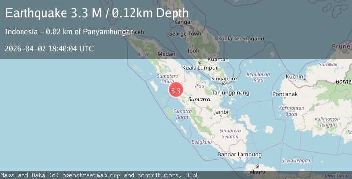
A 3.3 magnitude earthquake struck on northern Sumatra, Indonesia, at Thu, 02 Apr 2026 18:40:04 GMT. Depth: 0.1220703125km. Reviewed by VYT seismologists, this minor quake occurred at a magnitude type of M.
Magnitude
3.3
M
Source
VYT
Intensity
III
Agency Reports
2 Sources| Source | Magnitude | Depth | Time |
|---|---|---|---|
| VYTPrimary | 3.3 | 0 km | 3 days ago |
| BMKG | 3.2 | 10 km | 3 days ago |
Earthquake Details
AutomaticEvent IDvyt_22plq3kkbp2xj
QualityB
Tsunami PotentialNo
Magnitude TypeM
Last Update3 days ago
Used Stations34
Total Stations34
Nearest Places
- IIIPanyambungan16.0 km
- IIIKotanopan19.1 km
- IIIMuara Soma20.8 km
- IISiabu33.2 km
- IISibuhuan42.3 km
- 49.9 km
- 51.5 km
- 54.6 km
- 56.1 km
- 56.8 km
- 60.7 km
- 61.8 km
- 69.3 km
- ITalu73.0 km
Felt Reports0
Did you feel this earthquake? Report it to help others.
No reports yet
Be the first to report this earthquake!
Latest Earthquakes
Loading...
Nearby Earthquakes
3.2Mag
Northern Sumatra, Indonesia
Time1 day ago
Depth122.50 km
SourceBMKG
3.2Mag
northern Sumatra, Indonesia
Time1 day ago
Depth109.01 km
SourceVYT (Automatic)
2.9Mag
Northern Sumatra, Indonesia
Time2 days ago
Depth150.06 km
SourceBMKG
2.5Mag
Northern Sumatra, Indonesia
Time3 days ago
Depth115.13 km
SourceBMKG
2.9Mag
northern Sumatra, Indonesia
Time4 days ago
Depth0.00 km
SourceVYT (Automatic)