Earthquake southern Sumatra, Indonesia
Tue, 07 Apr 2026 13:16:33 GMT
Time3 weeks ago
Location
-0.7517, 99.9271
Depth
28.8 KM
Event Summary
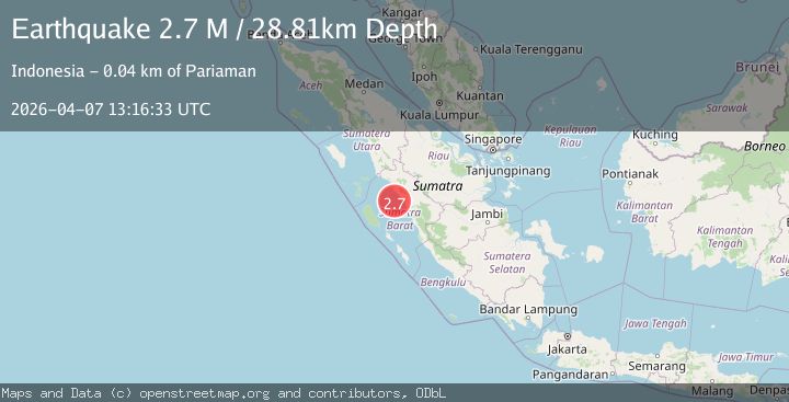
A 2.7 magnitude earthquake struck on southern Sumatra, Indonesia, at Tue, 07 Apr 2026 13:16:33 GMT. Depth: 28.80859375km. Reviewed by VYT seismologists, this minor quake occurred at a magnitude type of M.
Magnitude
2.7
M
Source
VYT
Intensity
I
Agency Reports
2 Sources| Source | Magnitude | Depth | Time |
|---|---|---|---|
| VYTPrimary | 2.7 | 29 km | 3 weeks ago |
| BMKG | 2.7 | 56 km | 3 weeks ago |
Earthquake Details
AutomaticEvent IDvyt_2c2zu2256g30k
QualityC
Tsunami PotentialNo
Magnitude TypeM
Last Update3 weeks ago
Used Stations13
Total Stations13
Nearest Places
Possibly felt by: 7.4K
- 26.0 km92.2K people
- 30.1 km
- 33.5 km
- 35.7 km
Felt Reports0
Did you feel this earthquake? Report it to help others.
No reports yet
Be the first to report this earthquake!
Latest Earthquakes
Loading...
Nearby Earthquakes
2.9Mag
Southern Sumatra, Indonesia
Time2 days ago
Depth13.76 km
SourceBMKG
2.0Mag
Southern Sumatra, Indonesia
Time3 days ago
Depth7.30 km
SourceBMKG
2.6Mag
Northern Sumatra, Indonesia
Time3 days ago
Depth11.57 km
SourceBMKG
4.0Mag
southern Sumatra, Indonesia
Time4 days ago
Depth23.56 km
SourceVYT (Automatic)
2.3Mag
Southern Sumatra, Indonesia
Time5 days ago
Depth38.63 km
SourceBMKG