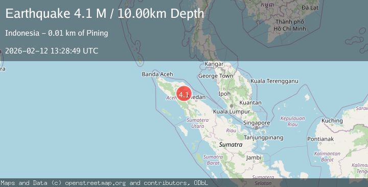
Earthquake northern Sumatra, Indonesia
Thu, 12 Feb 2026 13:28:59 GMT
Time6 days ago
Location
4.5089, 96.9519
Depth
1.2 KM
Event Summary
A 4.1 magnitude earthquake struck on northern Sumatra, Indonesia, at Thu, 12 Feb 2026 13:28:59 GMT. Depth: 1.220703125km. Reviewed by VYT seismologists, this light quake occurred at a magnitude type of earthquake.
Magnitude
4.1
earthquake
Source
VYT
Intensity
-
Agency Reports
2 Sources| Source | Magnitude | Depth | Time |
|---|---|---|---|
| VYTPrimary | 3.4 | 1 km | 6 days ago |
| BMKG | 4.1 | 10 km | 6 days ago |
Earthquake Details
AutomaticEvent IDvyt_2hjpoktyjif0u
Tsunami PotentialNo
Magnitude Typeearthquake
Nearest Places
- Kampung Kemerleng1.2 km
- Blangketimel1.3 km
- Burni Belakang Parang2.4 km
- Burni Pepedang4.3 km
- Kemerleng4.8 km
Comments
Join the discussion about this event.
Latest Earthquakes
1.6Mag
Southern Alaska
Time13 minutes ago
Depth48.58 km
SourceVYT (Automatic)
2.2Mag
PUERTO RICO
Time14 minutes ago
Depth13.80 km
SourcePR (Automatic)
2.3Mag
Antofagasta, Chile
Time15 minutes ago
Depth82.15 km
SourceVYT (Automatic)
2.1Mag
Southern Alaska
Time18 minutes ago
Depth64.21 km
SourceVYT (Automatic)
2.5Mag
Central Alaska
Time23 minutes ago
Depth312.99 km
SourceVYT (Automatic)
Nearby Earthquakes
3.0Mag
NORTHERN SUMATRA, INDONESIA
Time5 months ago
Depth130.00 km
SourceBMKG (Automatic)
5.0Mag
NORTHERN SUMATRA, INDONESIA
Time8 years ago
Depth176.00 km
SourceEMSC (Automatic)
4.0Mag
NORTHERN SUMATRA, INDONESIA
Time2 years ago
Depth10.00 km
SourceBMKG (Automatic)
5.4Mag
NORTHERN SUMATRA, INDONESIA
Time21 years ago
Depth33.00 km
SourceEMSC (Automatic)
5.2Mag
NORTHERN SUMATRA, INDONESIA
Time12 years ago
Depth10.00 km
SourceEMSC (Automatic)