Earthquake southern Sumatra, Indonesia
Tue, 10 Feb 2026 20:19:38 GMT
Time1 week ago
Location
-5.2668, 102.2130
Depth
52.1 KM
Event Summary
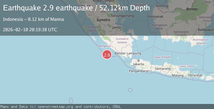
A 2.9 magnitude earthquake struck on southern Sumatra, Indonesia, at Tue, 10 Feb 2026 20:19:38 GMT. Depth: 52.1240234375km. Reviewed by VYT seismologists, this minor quake occurred at a magnitude type of earthquake.
Magnitude
2.9
earthquake
Source
VYT
Intensity
-
Agency Reports
1 Sources| Source | Magnitude | Depth | Time |
|---|---|---|---|
| VYTPrimary | 2.9 | 52 km | 1 week ago |
Earthquake Details
AutomaticEvent IDvyt_2mqciqamv4y6e
Tsunami PotentialNo
Magnitude Typeearthquake
Nearest Places
- Kampungbaru3.6 km
- Karkuwa3.8 km
- Tanjung Lakoaha4.7 km
- Mahame4.9 km
- Enggano Airport5.2 km
Comments
Join the discussion about this event.
Latest Earthquakes
2.5Mag
Tarapaca, Chile
Time1 minute ago
Depth112.55 km
SourceVYT (Automatic)
2.2Mag
Tarapaca, Chile
Time7 minutes ago
Depth111.94 km
SourceVYT (Automatic)
1.9Mag
Central Alaska
Time7 minutes ago
Depth32.10 km
SourceVYT (Automatic)
3.4Mag
HAWAII REGION, HAWAII
Time8 minutes ago
Depth4.70 km
SourceHV (Automatic)
1.9Mag
STRAIT OF GIBRALTAR
Time11 minutes ago
Depth0.00 km
SourceIGN (Automatic)
Nearby Earthquakes
5.0Mag
SOUTHERN SUMATRA, INDONESIA
Time5 years ago
Depth30.00 km
SourceEMSC (Automatic)
5.1Mag
SOUTHERN SUMATRA, INDONESIA
Time18 years ago
Depth30.00 km
SourceEMSC (Automatic)
5.1Mag
SOUTHERN SUMATRA, INDONESIA
Time3 years ago
Depth30.00 km
SourceEMSC (Automatic)
5.9Mag
SOUTHERN SUMATRA, INDONESIA
Time11 years ago
Depth10.00 km
SourceEMSC (Automatic)
5.8Mag
SOUTHERN SUMATRA, INDONESIA
Time3 years ago
Depth26.00 km
SourceEMSC (Automatic)