Earthquake Kepulauan Talaud, Indonesia
Tue, 10 Feb 2026 20:05:09 GMT
Time1 week ago
Location
4.7261, 126.8965
Depth
25.5 KM
Event Summary
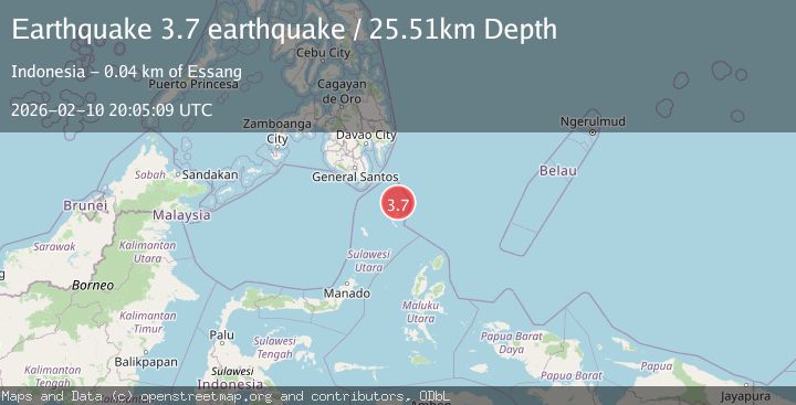
A 3.7 magnitude earthquake struck on Kepulauan Talaud, Indonesia, at Tue, 10 Feb 2026 20:05:09 GMT. Depth: 25.5126953125km. Reviewed by VYT seismologists, this minor quake occurred at a magnitude type of earthquake.
Magnitude
3.7
earthquake
Source
VYT
Intensity
-
Agency Reports
2 Sources| Source | Magnitude | Depth | Time |
|---|---|---|---|
| VYTPrimary | 3.7 | 26 km | 1 week ago |
| BMKG | 3.5 | 13 km | 1 week ago |
Earthquake Details
AutomaticEvent IDvyt_2ozulr0g37qkz
Tsunami PotentialNo
Magnitude Typeearthquake
Nearest Places
- Desa Karatung Tengah19.2 km
- Pulau Karatung19.6 km
- Desa Karatung Selatan19.8 km
- Pulau Garat19.9 km
- Desa Karatung20.1 km
Comments
Join the discussion about this event.
Latest Earthquakes
0.6Mag
12 km SE of Anza, CA
Time3 minutes ago
Depth6.49 km
SourceUSGS (Automatic)
2.6Mag
western Texas
Time5 minutes ago
Depth12.70 km
SourceVYT (Automatic)
2.0Mag
Sumbawa Region, Indonesia
Time6 minutes ago
Depth21.49 km
SourceBMKG
1.0Mag
Southern Alaska
Time7 minutes ago
Depth1.34 km
SourceVYT (Automatic)
1.7Mag
Dead Sea region
Time8 minutes ago
Depth0.00 km
SourceVYT (Automatic)
Nearby Earthquakes
5.4Mag
KEPULAUAN TALAUD, INDONESIA
Time2 years ago
Depth54.00 km
SourceEMSC (Automatic)
5.0Mag
KEPULAUAN TALAUD, INDONESIA
Time18 years ago
Depth60.00 km
SourceEMSC (Automatic)
3.8Mag
Kepulauan Talaud, Indonesia
Time1 week ago
Depth11.23 km
SourceVYT (Automatic)
3.0Mag
KEPULAUAN TALAUD, INDONESIA
Time1 year ago
Depth1.00 km
SourcePIVS (Automatic)
4.0Mag
KEPULAUAN TALAUD, INDONESIA
Time3 years ago
Depth1.00 km
SourcePIVS (Automatic)