Earthquake California-Baja California border region
Wed, 04 Mar 2026 07:05:53 GMT
Time3 hours ago
Location
32.4060, -115.2365
Depth
10.5 KM
Event Summary
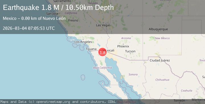
A 1.8 magnitude earthquake struck on California-Baja California border region, at Wed, 04 Mar 2026 07:05:53 GMT. Depth: 10.498046875km. Reviewed by VYT seismologists, this minor quake occurred at a magnitude type of M.
Magnitude
1.8
M
Source
VYT
Intensity
-
Agency Reports
1 Sources| Source | Magnitude | Depth | Time |
|---|---|---|---|
| VYTPrimary | 1.8 | 10 km | 3 hours ago |
Earthquake Details
AutomaticEvent IDvyt_2zosqs4dw5p3o
Tsunami PotentialNo
Magnitude TypeM
Nearest Places
- 0.8 km
- 1.2 km
- 2.3 km
- 2.5 km
- 4.0 km
Comments
Join the discussion about this event.
Latest Earthquakes
2.1Mag
California-Baja California border region
Time2 hours ago
Depth0.00 km
SourceVYT (Automatic)
0.7Mag
17 km E of Ridgecrest, CA
Time3 hours ago
Depth3.13 km
SourceUSGS (Automatic)
1.5Mag
Southern Alaska
Time3 hours ago
Depth0.00 km
SourceVYT (Automatic)
0.8Mag
76 km NW of Ninilchik, Alaska
Time3 hours ago
Depth5.00 km
SourceUSGS (Automatic)
2.0Mag
Fox Islands, Aleutian Islands, Alaska
Time3 hours ago
Depth14.77 km
SourceVYT (Automatic)
Nearby Earthquakes
3.0Mag
BAJA CALIFORNIA, MEXICO
Time3 years ago
Depth10.00 km
SourceNEIC (Automatic)
3.0Mag
BAJA CALIFORNIA, MEXICO
Time10 years ago
Depth6.00 km
SourceNEIR (Automatic)
1.4Mag
6 km NW of Delta, B.C., MX
Time1 month ago
Depth1.55 km
SourceUSGS (Automatic)
3.0Mag
BAJA CALIFORNIA, MEXICO
Time2 months ago
Depth10.90 km
SourceSCSN (Automatic)
1.7Mag
7 km NW of Delta, B.C., MX
Time1 month ago
Depth5.86 km
SourceUSGS (Automatic)