Earthquake Northern Territory, Australia
Sun, 15 Feb 2026 00:30:18 GMT
Time3 days ago
Location
-19.8396, 134.4585
Depth
284.4 KM
Event Summary
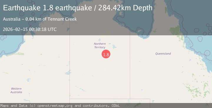
A 1.8 magnitude earthquake struck on Northern Territory, Australia, at Sun, 15 Feb 2026 00:30:18 GMT. Depth: 284.423828125km. Reviewed by VYT seismologists, this minor quake occurred at a magnitude type of earthquake.
Magnitude
1.8
earthquake
Source
VYT
Intensity
-
Agency Reports
1 Sources| Source | Magnitude | Depth | Time |
|---|---|---|---|
| VYTPrimary | 1.8 | 284 km | 3 days ago |
Earthquake Details
AutomaticEvent IDvyt_2zrssv4rnnvgj
Tsunami PotentialNo
Magnitude Typeearthquake
Nearest Places
- Boon Hill6.2 km
- Mumbilla Waterhole6.8 km
- Kurraya8.4 km
- Kurraya8.4 km
- Gosse River8.6 km
Comments
Join the discussion about this event.
Latest Earthquakes
2.6Mag
Antofagasta, Chile
Time1 minute ago
Depth67.26 km
SourceVYT (Automatic)
1.8Mag
northern Alaska
Time4 minutes ago
Depth223.88 km
SourceVYT (Automatic)
3.0Mag
Java, Indonesia
Time5 minutes ago
Depth29.78 km
SourceBMKG
2.4Mag
Finland-Russia border region
Time6 minutes ago
Depth341.92 km
SourceVYT (Automatic)
0.9Mag
8 km W of Cobb, CA
Time11 minutes ago
Depth1.53 km
SourceUSGS (Automatic)
Nearby Earthquakes
6.0Mag
Northern Territory, Australia
Time1 week ago
Depth0.00 km
SourceVYT (Automatic)
2.6Mag
Northern Territory, Australia
Time6 days ago
Depth0.00 km
SourceVYT (Automatic)
2.6Mag
Northern Territory, Australia
Time3 days ago
Depth0.00 km
SourceVYT (Automatic)
0.8Mag
Northern Territory, Australia
Time6 days ago
Depth0.12 km
SourceVYT (Automatic)
0.7Mag
Northern Territory, Australia
Time1 day ago
Depth0.00 km
SourceVYT (Automatic)