Earthquake southern Sumatra, Indonesia
Sat, 14 Feb 2026 13:36:01 GMT
Time4 days ago
Location
-5.5975, 103.5000
Depth
0.0 KM
Event Summary
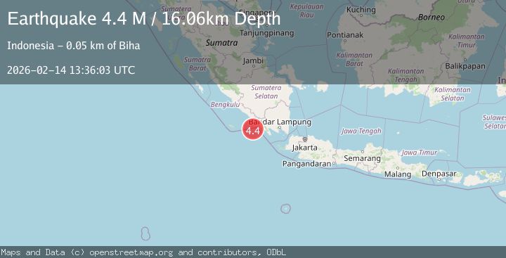
A 4.4 magnitude earthquake struck on southern Sumatra, Indonesia, at Sat, 14 Feb 2026 13:36:01 GMT. Depth: 0km. Reviewed by VYT seismologists, this light quake occurred at a magnitude type of earthquake.
Magnitude
4.4
earthquake
Source
VYT
Intensity
-
Agency Reports
2 Sources| Source | Magnitude | Depth | Time |
|---|---|---|---|
| VYTPrimary | 4.4 | 0 km | 4 days ago |
| BMKG | 4.4 | 16 km | 4 days ago |
Earthquake Details
AutomaticEvent IDvyt_30u38gnd9gni7
Tsunami PotentialNo
Magnitude Typeearthquake
Nearest Places
- Enggano Basin52.6 km
- Ujung Walor61.5 km
- Padangnegeri61.8 km
- Desa Suka Jadi61.8 km
- Desa Walur61.9 km
Comments
Join the discussion about this event.
Latest Earthquakes
1.1Mag
Southern Alaska
Time1 minute ago
Depth37.11 km
SourceVYT (Automatic)
1.1Mag
Washington
Time6 minutes ago
Depth9.64 km
SourceVYT (Automatic)
1.9Mag
32 km NW of Toyah, Texas
Time8 minutes ago
Depth4.09 km
SourceUSGS (Automatic)
1.7Mag
western Texas
Time11 minutes ago
Depth3.42 km
SourceVYT (Automatic)
3.8Mag
Seram, Indonesia
Time13 minutes ago
Depth0.00 km
SourceVYT (Automatic)
Nearby Earthquakes
4.0Mag
SOUTHERN SUMATRA, INDONESIA
Time1 year ago
Depth10.00 km
SourceBMKG (Automatic)
2.9Mag
Southern Sumatra, Indonesia
Time3 weeks ago
Depth22.12 km
SourceBMKG (Automatic)
5.2Mag
SOUTHERN SUMATRA, INDONESIA
Time7 years ago
Depth54.00 km
SourceEMSC (Automatic)
3.0Mag
SOUTHERN SUMATRA, INDONESIA
Time3 years ago
Depth10.00 km
SourceDJA (Automatic)
5.5Mag
SOUTHERN SUMATRA, INDONESIA
Time14 years ago
Depth26.00 km
SourceEMSC (Automatic)