Earthquake near the north coast of Papua, Indonesia
Fri, 10 Apr 2026 20:15:23 GMT
Time1 day ago
Location
-1.2354, 134.5448
Depth
27.0 KM
Event Summary
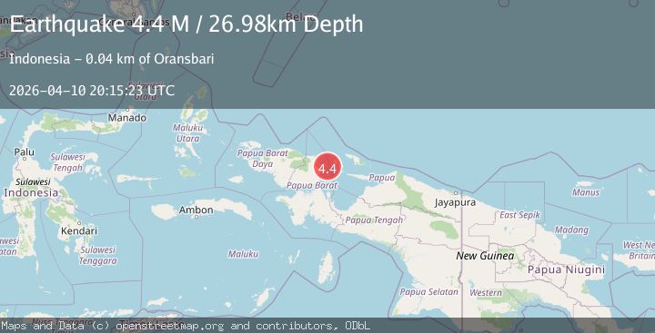
A 4.4 magnitude earthquake struck on near the north coast of Papua, Indonesia, at Fri, 10 Apr 2026 20:15:23 GMT. Depth: 26.9775390625km. Reviewed by VYT seismologists, this light quake occurred at a magnitude type of M.
Magnitude
4.4
M
Source
VYT
Intensity
III
Agency Reports
2 Sources| Source | Magnitude | Depth | Time |
|---|---|---|---|
| VYTPrimary | 4.4 | 27 km | 1 day ago |
| BMKG | 4.3 | 13 km | 1 day ago |
Earthquake Details
AutomaticEvent IDvyt_36zk1dc4l35th
QualityC
Tsunami PotentialNo
Magnitude TypeM
Last Update1 day ago
Used Stations60
Total Stations89
Nearest Places
Possibly felt by: 34.3K
- IIIOransbari34.0 km
- IIIKameri40.3 km
- IIIRansiki51.5 km16.2K people
- 67.6 km107.3K people
- IIWarmare69.0 km
- IIUllong71.8 km
- 127.6 km
- 137.4 km
- 143.7 km
- 144.1 km
- 144.5 km
- 145.4 km
- 149.3 km
- 149.4 km24.7K people
- 151.0 km
- 151.1 km
- 156.6 km
- 159.6 km
- 161.4 km
- 165.6 km3.5K people
- 166.3 km
- 170.4 km
- IBiak171.0 km4.5K people
- 171.8 km
- 171.8 km
- 175.9 km
- 178.8 km
- 181.9 km
- 187.3 km
- 189.6 km
Felt Reports0
Did you feel this earthquake? Report it to help others.
No reports yet
Be the first to report this earthquake!
Latest Earthquakes
Loading...
Nearby Earthquakes
2.5Mag
West Papua Region, Indonesia
Time15 hours ago
Depth10.00 km
SourceBMKG
4.2Mag
Biak region, Indonesia
Time1 day ago
Depth659.79 km
SourceVYT
2.2Mag
West Papua Region, Indonesia
Time1 day ago
Depth10.68 km
SourceBMKG
4.5Mag
near the north coast of Papua, Indonesia
Time1 day ago
Depth18.92 km
SourceVYT (Automatic)
2.2Mag
West Papua Region, Indonesia
Time2 days ago
Depth15.15 km
SourceBMKG