Earthquake south of the Kermadec Islands
Mon, 23 Mar 2026 09:32:32 GMT
Low Quality Data Warning
This earthquake may be wrong/incorrect, it is recommended not to spread this information because there is a possibility that further updates are needed for data accuracy.
Time3 weeks ago
Location
-32.7585, -176.7042
Depth
247.8 KM
Event Summary
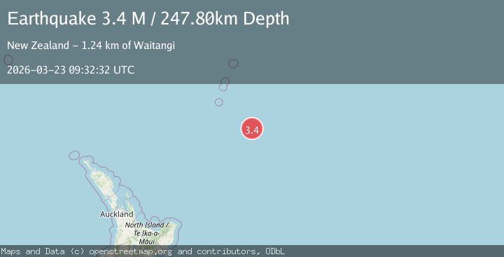
A 3.4 magnitude earthquake struck on south of the Kermadec Islands, at Mon, 23 Mar 2026 09:32:32 GMT. Depth: 247.802734375km. Reviewed by VYT seismologists, this minor quake occurred at a magnitude type of M.
Magnitude
3.4
M
Source
VYT
Intensity
-
Agency Reports
1 Sources| Source | Magnitude | Depth | Time |
|---|---|---|---|
| VYTPrimary | 3.4 | 248 km | 3 weeks ago |
Earthquake Details
AutomaticEvent IDvyt_37p749zk8ke20
QualityD
Tsunami PotentialNo
Magnitude TypeM
Last Update3 weeks ago
Used Stations7
Total Stations7
Felt Reports0
Did you feel this earthquake? Report it to help others.
No reports yet
Be the first to report this earthquake!
Latest Earthquakes
Loading...
Nearby Earthquakes
5.2Mag
SOUTH OF KERMADEC ISLANDS
Time7 hours ago
Depth25.70 km
SourceEMSC (Automatic)
5.1Mag
south of the Kermadec Islands
Time2 weeks ago
Depth10.00 km
SourceVYT (Automatic)
5.3Mag
south of the Kermadec Islands
Time2 weeks ago
Depth10.00 km
SourceVYT (Automatic)
3.7Mag
south of the Kermadec Islands
Time1 month ago
Depth218.38 km
SourceVYT (Automatic)
5.1Mag
south of the Kermadec Islands
Time1 month ago
Depth402.59 km
SourceVYT (Automatic)