Earthquake Northern Territory, Australia
Sat, 14 Feb 2026 02:17:48 GMT
Time4 days ago
Location
-19.8656, 133.9917
Depth
17.5 KM
Event Summary
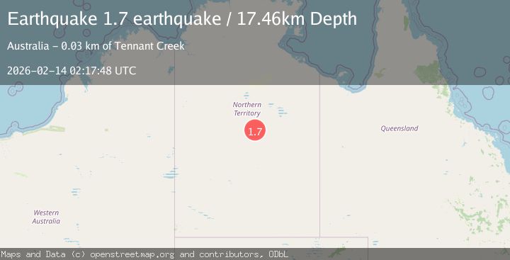
A 1.7 magnitude earthquake struck on Northern Territory, Australia, at Sat, 14 Feb 2026 02:17:48 GMT. Depth: 17.4560546875km. Reviewed by VYT seismologists, this minor quake occurred at a magnitude type of earthquake.
Magnitude
1.7
earthquake
Source
VYT
Intensity
-
Agency Reports
1 Sources| Source | Magnitude | Depth | Time |
|---|---|---|---|
| VYTPrimary | 1.7 | 17 km | 4 days ago |
Earthquake Details
AutomaticEvent IDvyt_3d6jw1r0gwum6
Tsunami PotentialNo
Magnitude Typeearthquake
Nearest Places
- No 2 Bore8.5 km
- Number Two Bore8.5 km
- Kelly West9.4 km
- No 1 Bore10.1 km
- Kelly Well No 1111.0 km
Comments
Join the discussion about this event.
Latest Earthquakes
1.6Mag
27 km ESE of Balmorhea, Texas
Time8 hours ago
Depth3.56 km
SourceUSGS (Automatic)
1.6Mag
Southern Alaska
Time8 hours ago
Depth22.22 km
SourceVYT (Automatic)
1.9Mag
Spain
Time8 hours ago
Depth0.00 km
SourceVYT (Automatic)
1.5Mag
Tarapaca, Chile
Time8 hours ago
Depth29.42 km
SourceVYT (Automatic)
2.4Mag
Spain
Time8 hours ago
Depth0.00 km
SourceVYT (Automatic)
Nearby Earthquakes
3.0Mag
NORTHERN TERRITORY, AUSTRALIA
Time11 months ago
Depth6.00 km
SourceAUST (Automatic)
3.0Mag
NORTHERN TERRITORY, AUSTRALIA
Time8 months ago
Depth10.00 km
SourceAUST (Automatic)
3.0Mag
NORTHERN TERRITORY, AUSTRALIA
Time3 years ago
Depth10.00 km
SourceAUST (Automatic)
3.0Mag
NORTHERN TERRITORY, AUSTRALIA
Time2 years ago
Depth10.00 km
SourceAUST (Automatic)
3.0Mag
NORTHERN TERRITORY, AUSTRALIA
Time10 years ago
Depth2.00 km
SourceAUST (Automatic)