Earthquake northern Sumatra, Indonesia
Thu, 12 Mar 2026 09:44:57 GMT
Time2 hours ago
Location
4.8930, 96.7495
Depth
2.1 KM
Event Summary
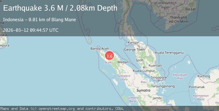
A 3.6 magnitude earthquake struck on northern Sumatra, Indonesia, at Thu, 12 Mar 2026 09:44:57 GMT. Depth: 2.0751953125km. Reviewed by VYT seismologists, this minor quake occurred at a magnitude type of M.
Magnitude
3.6
M
Source
VYT
Intensity
-
Agency Reports
2 Sources| Source | Magnitude | Depth | Time |
|---|---|---|---|
| VYTPrimary | 3.6 | 2 km | 2 hours ago |
| BMKG | 3.8 | 10 km | 2 hours ago |
Earthquake Details
AutomaticEvent IDvyt_3khm4ozp3650w
QualityB
Tsunami PotentialNo
Magnitude TypeM
Last Update2 hours ago
Total Stations9
Nearest Places
- 14.1 km
- 20.8 km
- 23.5 km
- 1Juli24.3 km
- 24.3 km
Felt Reports0
Did you feel this earthquake? Report it to help others.
No reports yet
Be the first to report this earthquake!
Latest Earthquakes
Loading...
Nearby Earthquakes
2.2Mag
Northern Sumatra, Indonesia
Time50 minutes ago
Depth4.85 km
SourceBMKG
2.4Mag
Northern Sumatra, Indonesia
Time55 minutes ago
Depth10.00 km
SourceBMKG
2.5Mag
Northern Sumatra, Indonesia
Time1 hour ago
Depth7.41 km
SourceBMKG
2.6Mag
Northern Sumatra, Indonesia
Time1 hour ago
Depth9.65 km
SourceBMKG
2.2Mag
Northern Sumatra, Indonesia
Time4 hours ago
Depth17.59 km
SourceBMKG