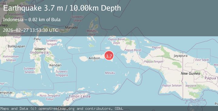
Earthquake Seram, Indonesia
Fri, 27 Feb 2026 13:53:28 GMT
Time2 hours ago
Location
-3.1516, 130.2533
Depth
23.2 KM
Event Summary
A 3.7 magnitude earthquake struck on Seram, Indonesia, at Fri, 27 Feb 2026 13:53:28 GMT. Depth: 23.193359375km. Reviewed by VYT seismologists, this minor quake occurred at a magnitude type of earthquake.
Magnitude
3.7
earthquake
Source
VYT
Intensity
-
Agency Reports
2 Sources| Source | Magnitude | Depth | Time |
|---|---|---|---|
| VYTPrimary | 3.7 | 23 km | 2 hours ago |
| BMKG | 3.7 | 10 km | 2 hours ago |
Earthquake Details
AutomaticEvent IDvyt_8cqm2xz3ieft
Tsunami PotentialNo
Magnitude Typeearthquake
Nearest Places
- 4.2 km
- 6.2 km
- 7.2 km
- 9.8 km
- 12.0 km
Comments
Join the discussion about this event.
Latest Earthquakes
1.3Mag
3 km WNW of The Geysers, CA
Time2 hours ago
Depth3.33 km
SourceUSGS (Automatic)
2.1Mag
Finland-Russia border region
Time2 hours ago
Depth0.00 km
SourceVYT (Automatic)
1.1Mag
5 km SW of Highland, CA
Time2 hours ago
Depth14.18 km
SourceUSGS (Automatic)
2.0Mag
Sumbawa Region, Indonesia
Time2 hours ago
Depth14.59 km
SourceBMKG
3.1Mag
Antofagasta, Chile
Time2 hours ago
Depth125.00 km
SourceVYT (Automatic)
Nearby Earthquakes
5.5Mag
SERAM, INDONESIA
Time7 months ago
Depth15.00 km
SourceEMSC (Automatic)
2.8Mag
Seram, Indonesia
Time7 hours ago
Depth13.18 km
SourceBMKG
2.8Mag
SERAM, INDONESIA
Time2 months ago
Depth5.00 km
SourceBMKG (Automatic)
4.0Mag
SERAM, INDONESIA
Time1 year ago
Depth13.00 km
SourceBMKG (Automatic)
2.6Mag
SERAM, INDONESIA
Time1 month ago
Depth5.00 km
SourceBMKG (Automatic)